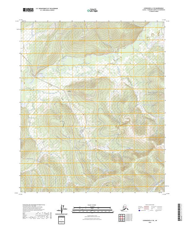
2024 Map of Livengood A-2 SE
USGS Topo · Published 2024About this map
Olnes and Fox anchor this interior Alaskan landscape, which is defined by a dense network of watercourses and early mining-era infrastructure. The northern reaches are dominated by the winding path of the Chatanika River, which collects drainage from numerous tributaries including Little Eldorado Creek and Ruby Creek. The presence of the Alaska Pipeline cutting north-to-south through the western terrain illustrates the modernization of this subarctic corridor. Local transport history is visible in the alignment of the Old Elliott Highway and the uniquely named At Your Own Risk Road near the Olnes settlement area. Aviation and utility history are marked by the Stark Airstrip and the Davidson Ditch Road, while the prominent Pedro Dome overlooks the confluence of the Steese Expressway Highway and Fox Creek.
Find a feature on this map
62 named features on this map. Tap any name to fly to it.
Don’t see what you’re looking for? This feature index may not catch every label — zoom into the map to look around manually.
Map Details
Editions of this 2024 Livengood A-2 SE Map
This is the sole edition of this map. No revisions or reprints were ever made.
Other maps of this area

1945 · Livengood
USGS Topo · 1:250,000

1949 · Fairbanks D-1
USGS Topo · 1:62,500

1949 · Fairbanks D-2
USGS Topo · 1:62,500

1950 · Fairbanks
USGS Topo · 1:250,000

1951 · Fairbanks
USGS Topo · 1:250,000

1951 · Livengood
USGS Topo · 1:250,000

1952 · Fairbanks D-2
USGS Topo · 1:63,360
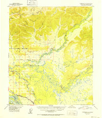
1952 · Fairbanks D-1
USGS Topo · 1:63,360

1952 · Fairbanks
USGS Topo · 1:250,000

1952 · Livengood A-2
USGS Topo · 1:63,360