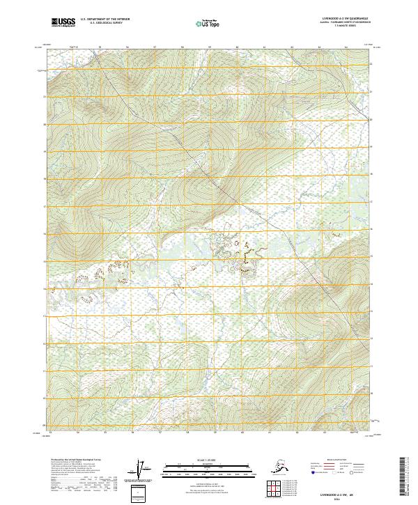
2024 Map of Livengood A-2 SW
USGS Topo · Published 2024About this map
The Alaska Pipeline traverses this Interior Alaska landscape, cutting diagonally through a region defined by its complex drainage network and elevated ridgelines. To the south, the Chatanika River meanders through broad wetlands, joined by tributaries including Hastings Creek, Oar Creek, and Four Creek. This 2024 survey captures a moment where industrial infrastructure meets the natural geography of the Fairbanks North Star Borough, as the pipeline corridor runs parallel to sections of the Elliott Highway. Residential and access roads like Himalaya Road, Smokey Drive, and Albacore Loop are clustered in the northern hills, providing a window into the contemporary settlement patterns north of Fairbanks. Higher elevations are marked by features such as Washington Creek and Vault Creek, illustrating the transition from the river valley to the uplands.
Find a feature on this map
27 named features on this map. Tap any name to fly to it.
Don’t see what you’re looking for? This feature index may not catch every label — zoom into the map to look around manually.
Map Details
Editions of this 2024 Livengood A-2 SW Map
This is the sole edition of this map. No revisions or reprints were ever made.
Other maps of this area

1945 · Livengood
USGS Topo · 1:250,000

1949 · Fairbanks D-2
USGS Topo · 1:62,500

1949 · Fairbanks D-3
USGS Topo · 1:63,360

1950 · Fairbanks
USGS Topo · 1:250,000

1950 · Fairbanks D-3
USGS Topo · 1:63,360

1951 · Fairbanks
USGS Topo · 1:250,000

1951 · Livengood
USGS Topo · 1:250,000

1952 · Fairbanks D-2
USGS Topo · 1:63,360

1952 · Fairbanks D-3
USGS Topo · 1:63,360

1952 · Fairbanks
USGS Topo · 1:250,000