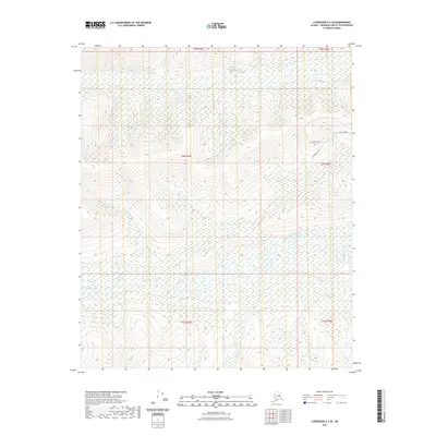
2021 Map of Livengood A-3 SE
USGS Topo · Published 2021About this map
The Chatanika River dominates the southern reaches of this landscape, its winding course defining the low-lying wetlands of the Fairbanks North Star Borough. North of the river, the terrain transitions into a more developed upland area marked by a network of local thoroughfares. Residential or industrial access is concentrated along Himilaya Road and the Himilaya Loop, which provide a contrast to the dense drainage network of the surrounding backcountry. Several significant tributaries, including Washington Cr, Hayes Cr, and Murphy Cr, carve through the interior, illustrating the complex hydrography of the region. This 2021 survey provides a contemporary view of the intersection between established road corridors like Rossburg Road and the natural watercourses that have historically shaped movement through this part of Alaska.
Find a feature on this map
13 named features on this map. Tap any name to fly to it.
Don’t see what you’re looking for? This feature index may not catch every label — zoom into the map to look around manually.
Map Details
Editions of this 2021 Livengood A-3 SE Map
This is the sole edition of this map. No revisions or reprints were ever made.
Other maps of this area

1945 · Livengood
USGS Topo · 1:250,000

1949 · Fairbanks D-2
USGS Topo · 1:62,500

1949 · Fairbanks D-3
USGS Topo · 1:63,360

1950 · Fairbanks
USGS Topo · 1:250,000

1950 · Fairbanks D-3
USGS Topo · 1:63,360

1951 · Fairbanks
USGS Topo · 1:250,000

1951 · Livengood
USGS Topo · 1:250,000

1952 · Fairbanks D-2
USGS Topo · 1:63,360

1952 · Fairbanks D-3
USGS Topo · 1:63,360

1952 · Fairbanks
USGS Topo · 1:250,000