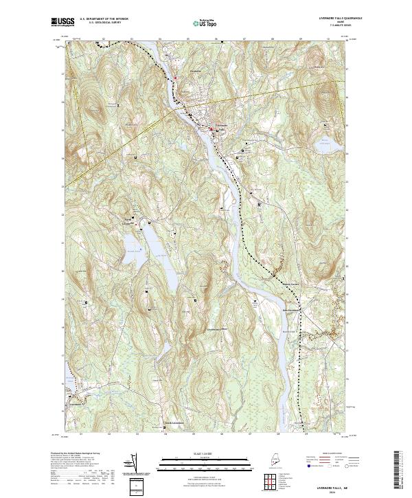
2024 Map of Livermore Falls
USGS Topo · Published 2024About this map
The Androscoggin River carves a central path through this landscape, anchoring a string of historic settlements including Livermore Falls, Chisholm, and East Livermore. The area's development follows the river's course and the winding valley roads, with numerous small communities like Haines Corner and South Livermore appearing as critical local nodes. For genealogists, the map is particularly dense with burial sites such as the Richardson Cem, Stones Corner Cem, and the uniquely named Hillman Ferry Cem near the riverbank.
Find a feature on this map
137 named features on this map. Tap any name to fly to it.
Don’t see what you’re looking for? This feature index may not catch every label — zoom into the map to look around manually.
Map Details
Editions of this 2024 Livermore Falls Map
This is the sole edition of this map. No revisions or reprints were ever made.
Other maps of this area

1910 · Livermore
USGS Topo · 1:62,500

1911 · Buckfield
USGS Topo · 1:62,500

1912 · Livermore
USGS Topo · 1:62,500

1913 · Buckfield
USGS Topo · 1:62,500

1924 · Farmington
USGS Topo · 1:62,500

1926 · Dixfield
USGS Topo · 1:62,500

1929 · Dixfield
USGS Topo · 1:62,500

1941 · Livermore
USGS Topo · 1:62,500

1942 · Buckfield
USGS Topo · 1:62,500

1950 · Lewiston
USGS Topo · 1:250,000