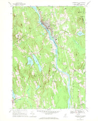
1967 Map of Livermore Falls
USGS Topo · Published 1970About this map
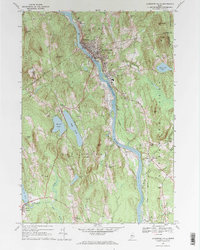
The Androscoggin River carves a central path through this late-1960s landscape, serving as the industrial and logistical spine for the neighboring communities of Chisholm and Livermore Falls. The river's significance is highlighted by the proximity of the Maine Central railroad and a network of reservoirs and water tanks that supported the local population. Outside the primary industrial corridor, the terrain transitions into a series of named ridges such as Treat Hill and Philbrick Hill, punctuated by numerous small cemeteries like Stones Corner Cem and Pleasant Hill Cem that document the region's long-standing family settlements.
Find a feature on this map
72 named features on this map. Tap any name to fly to it.
Don’t see what you’re looking for? This feature index may not catch every label — zoom into the map to look around manually.
Map Details
Editions of this 1967 Livermore Falls Map
2 editions found
Other maps of this area

1910 · Livermore
USGS Topo · 1:62,500

1911 · Buckfield
USGS Topo · 1:62,500

1912 · Livermore
USGS Topo · 1:62,500

1913 · Buckfield
USGS Topo · 1:62,500

1924 · Farmington
USGS Topo · 1:62,500

1926 · Dixfield
USGS Topo · 1:62,500

1929 · Dixfield
USGS Topo · 1:62,500

1941 · Livermore
USGS Topo · 1:62,500

1942 · Buckfield
USGS Topo · 1:62,500

1950 · Lewiston
USGS Topo · 1:250,000