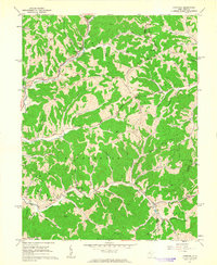
1960 Map of Liverpool
USGS Topo · Published 1963About this map
The Baltimore And Ohio railroad winds through the deep hollows and ridgelines of Jackson and Wirt counties, connecting small rural outposts like Liverpool and Le Roy. This 1960s landscape is defined by its intricate drainage patterns, where Sandy Creek and the Turkey Fork of the Sandy carve through steep terrain marked by named peaks such as Balls Knob and Tar Hill. The map reveals a tight-knit network of upland settlements and family-named landmarks that hint at a century of agrarian life, including several schools like Calbert Sch and McGraw Sch that once served these disparate communities.
Find a feature on this map
89 named features on this map. Tap any name to fly to it.
Don’t see what you’re looking for? This feature index may not catch every label — zoom into the map to look around manually.
Map Details
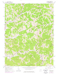
Editions of this 1960 Liverpool Map
2 editions found
Other maps of this area

1906 · Elizabeth
USGS Topo · 1:62,500

1906 · Belleville
USGS Topo · 1:62,500

1907 · Spencer
USGS Topo · 1:62,500

1907 · Ripley
USGS Topo · 1:62,500

1924 · Belleville
USGS Topo · 1:62,500

1924 · Elizabeth
USGS Topo · 1:62,500

1926 · Elizabeth
USGS Topo · 1:62,500

1926 · Belleville
USGS Topo · 1:62,500

1926 · Ripley
USGS Topo · 1:62,500

1928 · Spencer
USGS Topo · 1:62,500