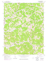
1960 Map of Liverpool
USGS Topo · Published 1976About this map
Sandy Creek and the Baltimore and Ohio railroad corridor anchor the southern portion of this West Virginia landscape, where small rural hubs like Liverpool and Leroy are positioned along the valley floor. The map records a dense network of family-named landmarks and local institutions, including the McGraw Sch and several country sanctuaries such as Providence Ch and Union Chapel. These points of assembly, often paired with community burial grounds like Shepherd Chapel Cem, reflect the social geography of the Grant and Ravenswood districts during the mid-20th century.
Find a feature on this map
82 named features on this map. Tap any name to fly to it.
Don’t see what you’re looking for? This feature index may not catch every label — zoom into the map to look around manually.
Map Details
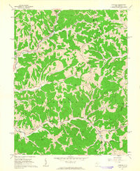
Editions of this 1960 Liverpool Map
2 editions found
Other maps of this area

1906 · Elizabeth
USGS Topo · 1:62,500

1906 · Belleville
USGS Topo · 1:62,500

1907 · Spencer
USGS Topo · 1:62,500

1907 · Ripley
USGS Topo · 1:62,500

1924 · Belleville
USGS Topo · 1:62,500

1924 · Elizabeth
USGS Topo · 1:62,500

1926 · Elizabeth
USGS Topo · 1:62,500

1926 · Belleville
USGS Topo · 1:62,500

1926 · Ripley
USGS Topo · 1:62,500

1928 · Spencer
USGS Topo · 1:62,500