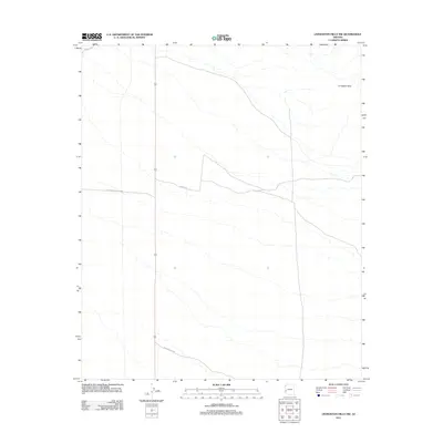
2011 Map of Livingston Hills NW
USGS Topo · Published 2011About this map
The vast western reaches of the Yuma Proving Ground dominate this portion of the Arizona desert, where military land use intersects with the open landscape of La Paz County. To the northeast, the Livingston Hills provide the primary topographic relief, rising above a network of dry washes and desert terrain. The area is defined by a sparse network of roads facilitating access through the restricted military zone and surrounding public lands. Specific routes such as Palm Canyon Rd in the south, Valve 2 Rd through the center, and Desert Ave in the far northwest corner represent the limited human infrastructure in this remote region. This 2011 survey captures the area at a time of continued military testing and research, showing the precise boundaries where federal installations meet the desert wildlands.
Find a feature on this map
5 named features on this map. Tap any name to fly to it.
Don’t see what you’re looking for? This feature index may not catch every label — zoom into the map to look around manually.
Map Details
Editions of this 2011 Livingston Hills NW Map
This is the sole edition of this map. No revisions or reprints were ever made.
Other maps of this area

1933 · Cunningham Mtn
USGS Topo · 1:48,000

1934 · Trigo Peaks
USGS Topo · 1:48,000

1939 · Trigo Peaks
USGS Topo · 1:62,500

1940 · Dome Rock Mts
USGS Topo · 1:62,500

1942 · Blythe
USGS Topo · 1:250,000

1954 · Salton Sea
USGS Topo · 1:250,000

1954 · Trigo Peaks
USGS Topo · 1:62,500

1955 · Salton Sea
USGS Topo · 1:250,000

1959 · Salton Sea
USGS Topo · 1:250,000

1962 · Quartzsite
USGS Topo · 1:62,500