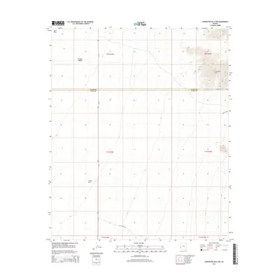
2014 Map of Livingston Hills NW
USGS Topo · Published 2014About this map
The Livingston Hills dominate the northeastern portion of this desert landscape, rising sharply from the surrounding basins. This 2014 survey captures a section of the Sonoran Desert where the La Posa Plain meets the La Paz Valley. The terrain is defined by its drainage patterns, most notably Tyson Wash in the northwest, which channels seasonal runoff through the arid floor. Human presence is primarily represented by the transportation corridor of Us-95, which runs north-south through the center of the sheet, providing a vital link across the open desert. Local access routes like Palm Canyon Rd and Valve Two Rd branch off into the more remote desert and upland areas, while the map also marks the administrative boundary between La Paz and Yuma counties.
Find a feature on this map
14 named features on this map. Tap any name to fly to it.
Don’t see what you’re looking for? This feature index may not catch every label — zoom into the map to look around manually.
Map Details
Editions of this 2014 Livingston Hills NW Map
This is the sole edition of this map. No revisions or reprints were ever made.
Other maps of this area

1933 · Cunningham Mtn
USGS Topo · 1:48,000

1934 · Trigo Peaks
USGS Topo · 1:48,000

1939 · Trigo Peaks
USGS Topo · 1:62,500

1940 · Dome Rock Mts
USGS Topo · 1:62,500

1942 · Blythe
USGS Topo · 1:250,000

1954 · Salton Sea
USGS Topo · 1:250,000

1954 · Trigo Peaks
USGS Topo · 1:62,500

1955 · Salton Sea
USGS Topo · 1:250,000

1959 · Salton Sea
USGS Topo · 1:250,000

1962 · Quartzsite
USGS Topo · 1:62,500