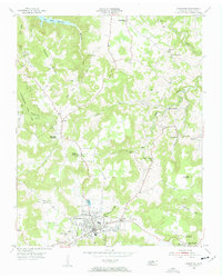
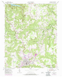
1955 Map of Livingston
USGS Topo · Published 1956About this map
Livingston serves as the central hub of this mid-century Overton County landscape, where the town street grid meets surrounding rural hamlets like Monroe and Allons. The terrain transitions from the developed town center toward the northern hills, where the Dale Hollow Reservoir begins to take shape. Numerous family-named landmarks and rural institutions dot the countryside, including Garretts Mill on Big Eagle Creek and the Free Communion Ch near Big Springs.
Find a feature on this map
48 named features on this map. Tap any name to fly to it.
Don’t see what you’re looking for? This feature index may not catch every label — zoom into the map to look around manually.
Map Details
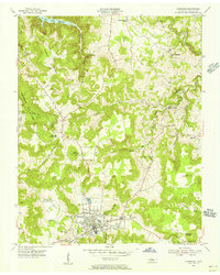
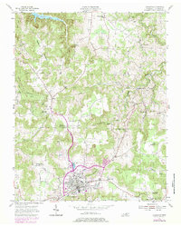
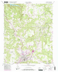
Editions of this 1955 Livingston Map
5 editions found
Other maps of this area

1897 · Standingstone
USGS Topo · 1:125,000

1898 · Standingstone
USGS Topo · 1:125,000

1924 · Lillydale
USGS Topo · 1:62,500

1926 · Lillydale
USGS Topo · 1:62,500

1929 · Lillydale
USGS Topo · 1:62,500

1929 · Byrdstown
USGS Topo · 1:62,500

1944 · Livingston
USGS Topo · 1:24,000

1951 · Windle
USGS Topo · 1:24,000

1954 · Crawford
USGS Topo · 1:24,000
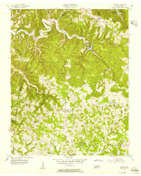
1955 · Hilham
USGS Topo · 1:24,000