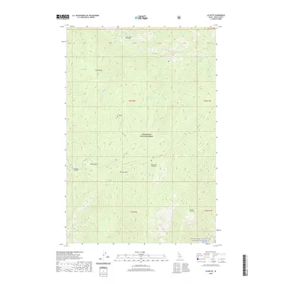
2020 Map of Liz Butte
USGS Topo · Published 2020About this map
Clearwater National Forest encompasses this wilderness area, where high ridgelines and deep creek drainages define the landscape. The Lolo Trl winds through the central and southern portions of the territory, following the historic route across the Bitterroot Mountains. In the north, the Upper Weitas Pack Bridge provides a critical crossing over Weitas Creek, a waterway joined by numerous tributaries including Windy Cr, Salix Cr, and Jam Cr.
Find a feature on this map
33 named features on this map. Tap any name to fly to it.
Don’t see what you’re looking for? This feature index may not catch every label — zoom into the map to look around manually.
Map Details
Editions of this 2020 Liz Butte Map
This is the sole edition of this map. No revisions or reprints were ever made.
Other maps of this area

1911 · Lolo
USGS Topo · 1:250,000

1913 · Lolo
USGS Topo · 1:250,000

1956 · Hamilton
USGS Topo · 1:250,000

1959 · Hamilton
USGS Topo · 1:250,000

1960 · Hamilton
USGS Topo · 1:250,000

1964 · Hamilton
USGS Topo · 1:250,000

1965 · Lean-to Point
USGS Topo · 1:24,000

1965 · Lookout Peak
USGS Topo · 1:24,000
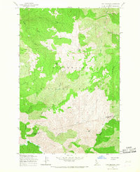
1965 · Cook Mountain
USGS Topo · 1:24,000
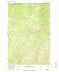
1966 · Weitas Butte
USGS Topo · 1:24,000