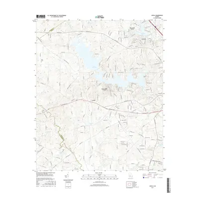
2017 Map of Lizella
USGS Topo · Published 2017About this map
Lake Tobesofkee dominates the central landscape of this West Central Georgia quadrangle, with its fingers reaching into the surrounding terrain near the community of Lizella. The map illustrates the suburban expansion and residential development patterns west of Macon during the mid-2010s, highlighted by neighborhoods like Sherwood Forest and Cherokee. To the south and west, the landscape transitions into a network of waterways including Echeconnee Creek and Sweetwater Creek, which define the natural boundaries between Macon-Bibb County and Crawford County.
Find a feature on this map
165 named features on this map. Tap any name to fly to it.
Don’t see what you’re looking for? This feature index may not catch every label — zoom into the map to look around manually.
Map Details
Editions of this 2017 Lizella Map
This is the sole edition of this map. No revisions or reprints were ever made.
Other maps of this area

1956 · Fort Valley
USGS Topo · 1:62,500

1956 · Bolingbroke
USGS Topo · 1:62,500

1956 · Warner Robins
USGS Topo · 1:62,500

1956 · Macon West
USGS Topo · 1:24,000

1956 · Macon
USGS Topo · 1:62,500

1957 · Macon
USGS Topo · 1:250,000

1958 · Macon
USGS Topo · 1:250,000

1964 · Macon
USGS Topo · 1:250,000
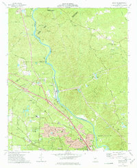
1973 · Macon NW
USGS Topo · 1:24,000
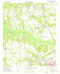
1973 · Warner Robins NW
USGS Topo · 1:24,000