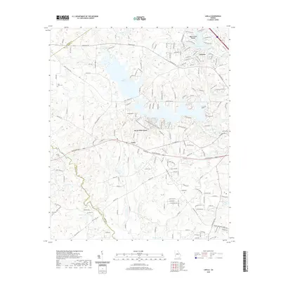
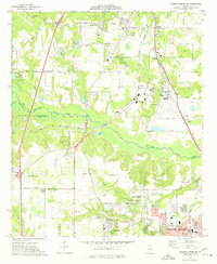
2020 Map of Lizella
USGS Topo · Published 2020About this map
Lake Tobesofkee serves as a central landmark for this portion of western Macon-Bibb County, illustrating the residential and recreational development of the area. The settlement of Lizella is a primary focal point, situated at the junction of Knoxville Rd and Columbus Rd. This landscape is marked by a legacy of family and community spaces, with several small burial grounds such as Saint Dennis Cem, Davis Cem, and Dixon Cem scattered across the undulating terrain.
Find a feature on this map
36 named features on this map. Tap any name to fly to it.
Don’t see what you’re looking for? This feature index may not catch every label — zoom into the map to look around manually.
Map Details
Editions of this 2020 Lizella Map
This is the sole edition of this map. No revisions or reprints were ever made.
Other maps of this area
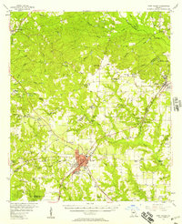
1956 · Fort Valley
USGS Topo · 1:62,500
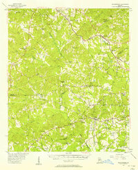
1956 · Bolingbroke
USGS Topo · 1:62,500
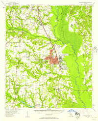
1956 · Warner Robins
USGS Topo · 1:62,500
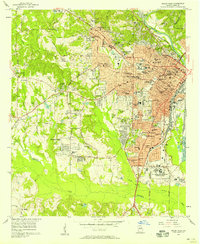
1956 · Macon West
USGS Topo · 1:24,000
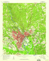
1956 · Macon
USGS Topo · 1:62,500

1957 · Macon
USGS Topo · 1:250,000

1958 · Macon
USGS Topo · 1:250,000
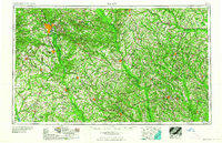
1964 · Macon
USGS Topo · 1:250,000
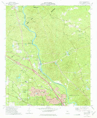
1973 · Macon NW
USGS Topo · 1:24,000
1973 · Warner Robins NW
USGS Topo · 1:24,000