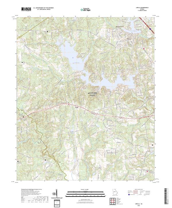
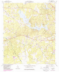
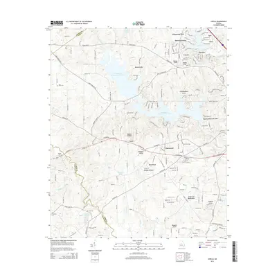
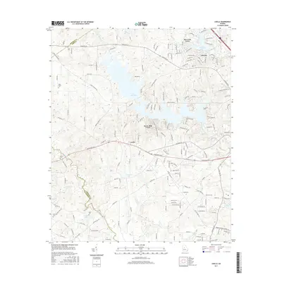
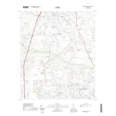
2024 Map of Lizella
USGS Topo · Published 2024About this map
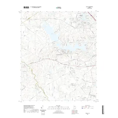
Lake Tobesofkee dominates the central landscape of this West Macon region, its fingers reaching north toward Thomaston Rd and south toward the settlement of Lizella. This map documents a transitional zone where residential growth in neighborhoods like Sherwood Forest and Cherokee meets the older rural structure of Bibb County. The infrastructure is anchored by major thoroughfares such as Eisenhower Pkwy and Columbus Rd, which cut through a terrain defined by substantial water bodies including Lake Wildwood and Stackler Lake.
Find a feature on this map
32 named features on this map. Tap any name to fly to it.
Don’t see what you’re looking for? This feature index may not catch every label — zoom into the map to look around manually.
Map Details
Editions of this 2024 Lizella Map
This is the sole edition of this map. No revisions or reprints were ever made.
Historical Maps of Macon Through Time
24 maps found
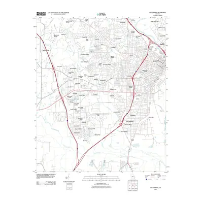
1956 Macon East
Bibb County, GA
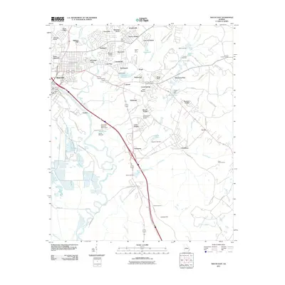
1956 Macon West
Bibb County, GA
1973 Warner Robins NW
Bibb County, GA
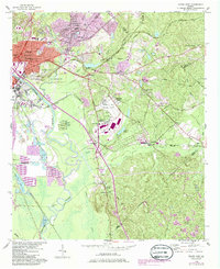
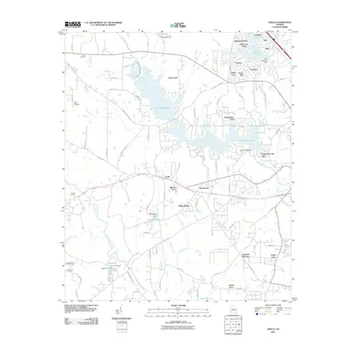
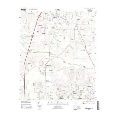
1974 Lizella
Bibb County, GA
2011 Lizella
Bibb County, GA
2011 Macon East
Bibb County, GA
2011 Macon West
Bibb County, GA
2011 Warner Robins NW
Bibb County, GA
2014 Lizella
Bibb County, GA
2014 Macon East
Bibb County, GA
2014 Macon West
Bibb County, GA
2014 Warner Robins NW
Bibb County, GA
2017 Lizella
Bibb County, GA
2017 Macon East
Bibb County, GA
2017 Macon West
Bibb County, GA
2017 Warner Robins NW
Bibb County, GA
2020 Lizella
Bibb County, GA
2020 Macon East
Bibb County, GA
2020 Macon West
Bibb County, GA
2020 Warner Robins NW
Bibb County, GA
2024 Lizella
Bibb County, GA
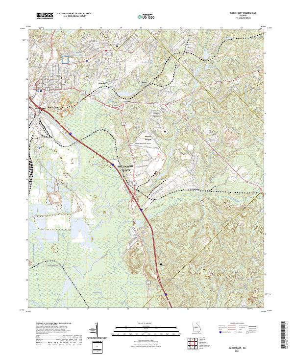
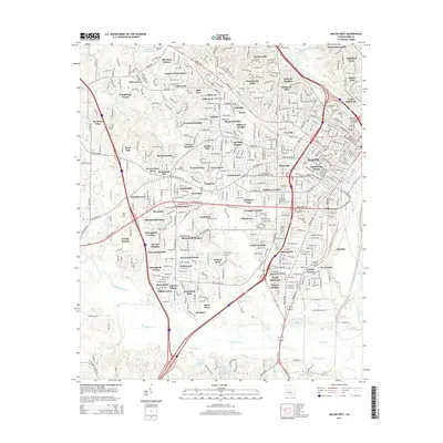
2024 Macon East
Bibb County, GA
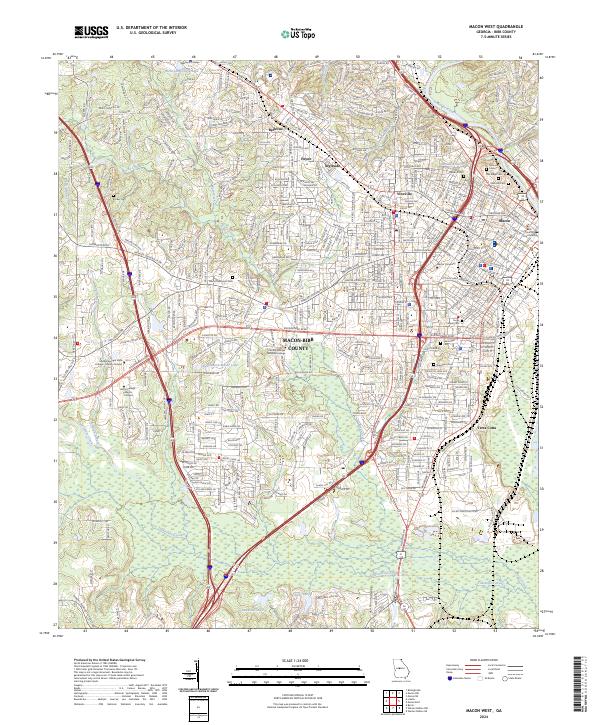
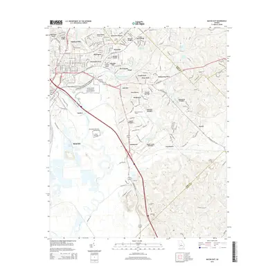
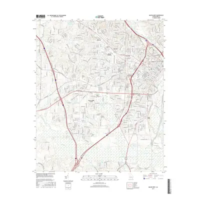
2024 Macon West
Bibb County, GA
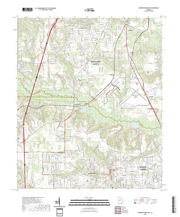
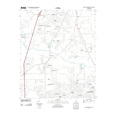
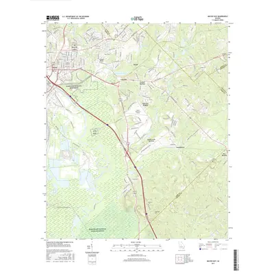
2024 Warner Robins NW
Bibb County, GA