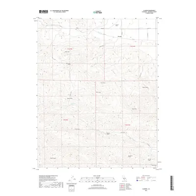
2018 Map of Llanada
USGS Topo · Published 2018About this map
Panoche Valley serves as a central landmark in this portion of the Diablo Range, where the small settlement of Llanada sits along Co HWY j1. The landscape is defined by its dramatic relief and numerous named drainages, including Panoche Cr and Pimental Cr. High points such as Walker Peak, Cerro Bonito, and Meyers Peak rise above a series of deeply etched canyons. For those looking into local history, the Cherry Hill Cem is a significant genealogical site located in the northern reaches of the quadrangle. The naming of features like Smoker Canyon, Mine Canyon, and Log Cabin Canyon suggests a history of ranching and exploration. These natural landmarks, combined with isolated water sources like Albañez Spring and Moody Spring, illustrate the traditional water-dependency of this arid region.
Find a feature on this map
33 named features on this map. Tap any name to fly to it.
Don’t see what you’re looking for? This feature index may not catch every label — zoom into the map to look around manually.
Map Details
Editions of this 2018 Llanada Map
This is the sole edition of this map. No revisions or reprints were ever made.
Other maps of this area

1913 · Panoche
USGS Topo · 1:125,000

1915 · Priest Valley
USGS Topo · 1:125,000

1919 · San Benito
USGS Topo · 1:62,500

1921 · Metz
USGS Topo · 1:62,500

1931 · San Benito
USGS Topo · 1:62,500

1940 · Metz
USGS Topo · 1:62,500

1940 · San Benito
USGS Topo · 1:62,500

1943 · Hernandez Valley
USGS Topo · 1:62,500

1944 · Hernandez Valley
USGS Topo · 1:62,500

1944 · Panoche Valley
USGS Topo · 1:62,500