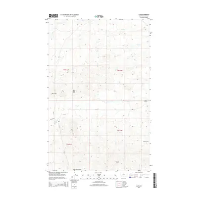
2014 Map of Lloyd
USGS Topo · Published 2014About this map
Lloyd serves as the primary point of settlement in this high-altitude landscape of Blaine County, situated near the northern reaches of the Bears Paw Mountains. The terrain is defined by dramatic elevation changes, characterized by landmarks such as Lloyd Butte and the distinctive Mans Head Rock. A network of drainages including Snake Cr, Miles Cr, and Butte Cr cut through the country, creating a complex system of ridges and valleys like the Taylor Divide.
Find a feature on this map
20 named features on this map. Tap any name to fly to it.
Don’t see what you’re looking for? This feature index may not catch every label — zoom into the map to look around manually.
Map Details
Editions of this 2014 Lloyd Map
This is the sole edition of this map. No revisions or reprints were ever made.
Other maps of this area

1953 · Havre
USGS Topo · 1:250,000

1956 · Maddux
USGS Topo · 1:62,500

1956 · Rattlesnake
USGS Topo · 1:62,500

1956 · Lloyd
USGS Topo · 1:62,500

1956 · Cleveland
USGS Topo · 1:62,500

1957 · Havre
USGS Topo · 1:250,000

1958 · Havre
USGS Topo · 1:250,000
1987 · Cleveland NW
USGS Topo · 1:24,000
1987 · Sayer Butte
USGS Topo · 1:24,000
1987 · Cleveland
USGS Topo · 1:24,000