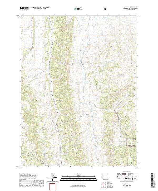
2022 Map of LO 7 Hill
USGS Topo · Published 2022About this map
The Grand Hogback forms the dominant geologic spine of this landscape, creating a dramatic series of ridges and drainages in Rio Blanco County. This 2022 survey captures a high-elevation western Colorado environment where water management is central to the land's utility, evidenced by the Highland Ditch and Miller Cr Ditch that contour along the hillsides. These artificial waterways supplement natural flows like Sheep Cr and Flag Cr, which carve through the varied terrain.
Find a feature on this map
22 named features on this map. Tap any name to fly to it.
Don’t see what you’re looking for? This feature index may not catch every label — zoom into the map to look around manually.
Map Details
Editions of this 2022 LO 7 Hill Map
This is the sole edition of this map. No revisions or reprints were ever made.
Other maps of this area

1906 · Grand Hogback
USGS Topo · 1:125,000

1907 · White River
USGS Topo · 1:125,000

1910 · Danforth Hills
USGS Topo · 1:125,000

1910 · Grand Hogback
USGS Topo · 1:125,000

1910 · White River
USGS Topo · 1:125,000

1912 · Meeker
USGS Topo · 1:62,500

1914 · Meeker
USGS Topo · 1:62,500

1952 · No Name Ridge
USGS Topo · 1:24,000

1952 · Segar Mountain
USGS Topo · 1:24,000

1954 · Vernal
USGS Topo · 1:250,000