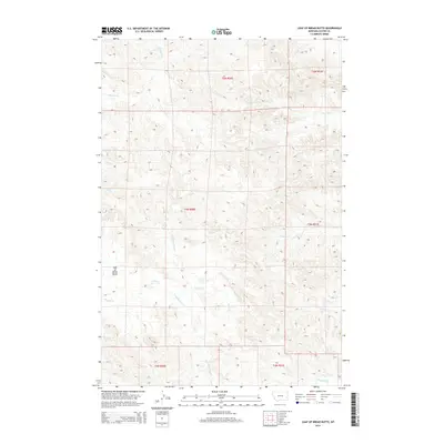
2014 Map of Loaf of Bread Butte
USGS Topo · Published 2014About this map
Loaf of Bread Butte rises as the primary landmark in this section of Custer County, overlooking a network of ephemeral watercourses that drain the surrounding high plains. The landscape is defined by the branching tributaries of Second Cr, including the N Fork Second Cr and S Fork Second Cr, which carve subtle paths through the terrain. In the southern portion of the quadrangle, Timothy Cr and M S Cr emerge, while Fivemile Cr and Johnson Cr mark the northern reaches.
Find a feature on this map
15 named features on this map. Tap any name to fly to it.
Don’t see what you’re looking for? This feature index may not catch every label — zoom into the map to look around manually.
Map Details
Editions of this 2014 Loaf of Bread Butte Map
This is the sole edition of this map. No revisions or reprints were ever made.
Other maps of this area

1953 · Miles City
USGS Topo · 1:250,000

1957 · Miles City
USGS Topo · 1:250,000

1958 · Miles City
USGS Topo · 1:250,000

1969 · Haines Springs
USGS Topo · 1:24,000

1969 · Mizpah
USGS Topo · 1:24,000

1969 · First Creek
USGS Topo · 1:24,000

1969 · Loaf of Bread Butte
USGS Topo · 1:24,000

1969 · Forty Creek
USGS Topo · 1:24,000

1969 · Locate SE
USGS Topo · 1:24,000

1969 · Miles City Creek
USGS Topo · 1:24,000