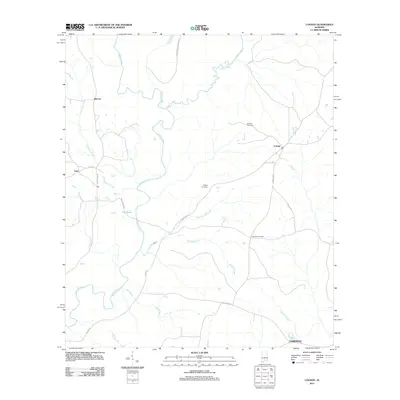
2011 Map of Loango
USGS Topo · Published 2011About this map
The Sepulga River meanders through this portion of Conecuh County, serving as the primary drainage for a network of tributaries including Robinson Mill Creek and Rose Mill Creek. The landscape is dotted with small rural settlements such as Melrose, Paul, and Loango, connected by a web of local routes like County Hwy 43 and Judge Smith Rd. This survey captures the spatial arrangement of these communities just after the first decade of the 21st century.
Find a feature on this map
26 named features on this map. Tap any name to fly to it.
Don’t see what you’re looking for? This feature index may not catch every label — zoom into the map to look around manually.
Map Details
Editions of this 2011 Loango Map
This is the sole edition of this map. No revisions or reprints were ever made.
Other maps of this area

1953 · Andalusia
USGS Topo · 1:250,000

1957 · Andalusia
USGS Topo · 1:250,000

1971 · Dixie
USGS Topo · 1:24,000

1971 · Brooks
USGS Topo · 1:24,000

1971 · Carolina
USGS Topo · 1:24,000

1971 · River Falls
USGS Topo · 1:24,000

1971 · Red Level
USGS Topo · 1:24,000

1971 · Loango
USGS Topo · 1:24,000

1982 · Damascus
USGS Topo · 1:24,000

1982 · Old Town
USGS Topo · 1:24,000