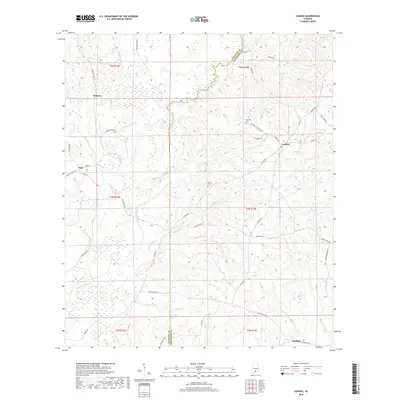
2018 Map of Loango
USGS Topo · Published 2018About this map
The Sepulga River defines the western landscape of this Alabama borderland, where the boundary between Conecuh Co and Covington Co follows the winding path of Pigeon Creek. The rural settlements of Melrose, Loango, and Paul are connected by a network of local routes including Old Horseshoe Rd and Mitchell Cemetary Rd. Small family or community burial sites like Mitchell Cem and Garwin Cem are situated near these hubs, providing significant touchstones for genealogical research.
Find a feature on this map
51 named features on this map. Tap any name to fly to it.
Don’t see what you’re looking for? This feature index may not catch every label — zoom into the map to look around manually.
Map Details
Editions of this 2018 Loango Map
This is the sole edition of this map. No revisions or reprints were ever made.
Other maps of this area

1953 · Andalusia
USGS Topo · 1:250,000

1957 · Andalusia
USGS Topo · 1:250,000

1971 · Dixie
USGS Topo · 1:24,000

1971 · Brooks
USGS Topo · 1:24,000

1971 · Carolina
USGS Topo · 1:24,000

1971 · River Falls
USGS Topo · 1:24,000

1971 · Red Level
USGS Topo · 1:24,000

1971 · Loango
USGS Topo · 1:24,000

1982 · Damascus
USGS Topo · 1:24,000

1982 · Old Town
USGS Topo · 1:24,000