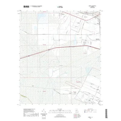
2020 Map of Lobdell
USGS Topo · Published 2020About this map
The Intracoastal Waterway and Port Allen Canal dominate the Lowcountry geography of this West Baton Rouge Parish landscape. This modern survey illustrates the complex relationship between industrial water transport and the historic plantation-era layout of the region. Significant clusters of residential and light industrial development are anchored by Addis and Brusly in the southeast, while smaller named locales such as Lobdell, Kahns, and Ithra trace the pathways of older roads.
Find a feature on this map
89 named features on this map. Tap any name to fly to it.
Don’t see what you’re looking for? This feature index may not catch every label — zoom into the map to look around manually.
Map Details
Editions of this 2020 Lobdell Map
This is the sole edition of this map. No revisions or reprints were ever made.
Other maps of this area

1906 · Bayou Sara
USGS Topo · 1:125,000
1908 · Baton Rouge
USGS Topo · 1:62,500
1939 · Zachary
USGS Topo · 1:62,500
1939 · Baton Rouge
USGS Topo · 1:62,500
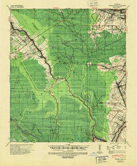
1940 · Grosse Tete
USGS Topo · 1:62,500
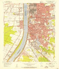
1953 · Baton Rouge West
USGS Topo · 1:24,000
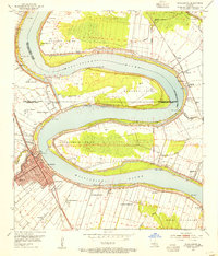
1953 · Plaquemine
USGS Topo · 1:24,000
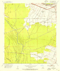
1953 · Lobdell
USGS Topo · 1:24,000
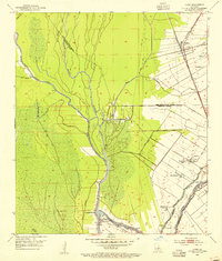
1953 · Addis
USGS Topo · 1:24,000
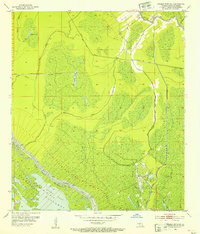
1953 · Grosse Tete SW
USGS Topo · 1:24,000