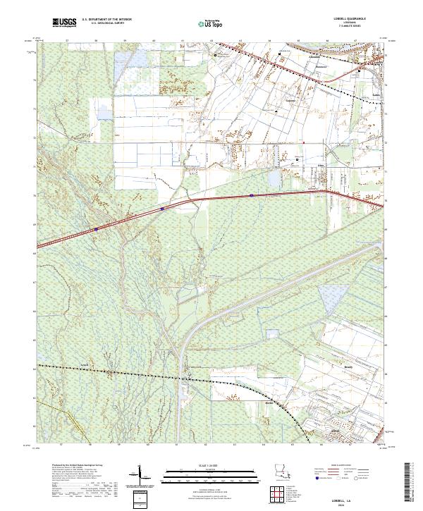
2024 Map of Lobdell
USGS Topo · Published 2024About this map
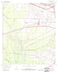
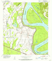
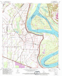
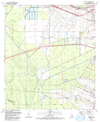
The Port Allen Canal and the Gulf Intracoastal Waterway dominate the landscape of West Baton Rouge Parish, cutting through the lowlands east of the Iberville Parish line. This 2024 survey captures the sophisticated drainage and transit network defined by the Choctaw Basin Drainage Canal and the sprawling Alligator Bayou. In the north, established settlements like Allendale, Westover, and Lobdell are clustered near the banks of the Mississippi River, while the southern portion of the quadrangle shows the growth of Addis and Brusly. Genealogists will find several burial sites recorded, including Saint Catherine Cem, Allendale Cem, and the Greater Shiloh Missionary Cem. The map illustrates a region where sugar plantation history meets modern logistics, with local infrastructure like Kahns Rd and Rosedale Rd connecting these river-side communities to the broader bayou interior.
Find a feature on this map
99 named features on this map. Tap any name to fly to it.
Don’t see what you’re looking for? This feature index may not catch every label — zoom into the map to look around manually.
Map Details
Editions of this 2024 Lobdell Map
This is the sole edition of this map. No revisions or reprints were ever made.
Historical Maps of Kahns Through Time
7 maps found