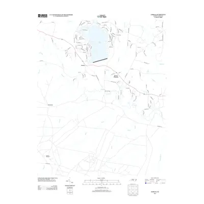
2013 Map of Lobelia
USGS Topo · Published 2013About this map
Lake Surf dominates the northern reaches of this Moore County landscape, serving as a focal point for the residential development surrounding the Woodlake Country Club area. The settlement of Lobelia sits just south of the lake, marking a transition between the established lakeside community and the more rural terrain to the south. Further east, the hamlet of Mount Pleasant is situated along the primary road network, while the locality of Inverness lies to the southwest near the winding course of the Little River.
Find a feature on this map
112 named features on this map. Tap any name to fly to it.
Don’t see what you’re looking for? This feature index may not catch every label — zoom into the map to look around manually.
Map Details
Editions of this 2013 Lobelia Map
This is the sole edition of this map. No revisions or reprints were ever made.
Other maps of this area

1948 · Southern Pines
USGS Topo · 1:62,500

1948 · Clifdale
USGS Topo · 1:62,500

1948 · Nicholson Creek
USGS Topo · 1:24,000

1948 · Clifdale
USGS Topo · 1:24,000

1948 · Mc Cain
USGS Topo · 1:24,000

1950 · Clifdale
USGS Topo · 1:24,000

1950 · Sanatorium
USGS Topo · 1:24,000

1950 · Lobelia
USGS Topo · 1:24,000

1950 · Niagara
USGS Topo · 1:24,000

1950 · Nicholson Creek
USGS Topo · 1:24,000