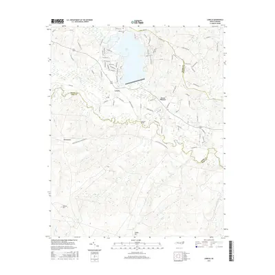
2016 Map of Lobelia
USGS Topo · Published 2016About this map
Lake Surf dominates the northern landscape of this North Carolina region, where the residential developments of the Woodlake area meet the traditional rural boundaries of Moore, Hoke, and Harnett Counties. The settlement of Lobelia sits at the center of a complex local road network, just north of where the meandering Little River cuts through the terrain. This watercourse is a focal point for local history, featuring the Morrison Bridge crossing and receiving various tributaries such as Crane Cr and Buffalo Cr.
Find a feature on this map
88 named features on this map. Tap any name to fly to it.
Don’t see what you’re looking for? This feature index may not catch every label — zoom into the map to look around manually.
Map Details
Editions of this 2016 Lobelia Map
This is the sole edition of this map. No revisions or reprints were ever made.
Other maps of this area

1948 · Southern Pines
USGS Topo · 1:62,500

1948 · Clifdale
USGS Topo · 1:62,500

1948 · Nicholson Creek
USGS Topo · 1:24,000

1948 · Clifdale
USGS Topo · 1:24,000

1948 · Mc Cain
USGS Topo · 1:24,000

1950 · Clifdale
USGS Topo · 1:24,000

1950 · Sanatorium
USGS Topo · 1:24,000

1950 · Lobelia
USGS Topo · 1:24,000

1950 · Niagara
USGS Topo · 1:24,000

1950 · Nicholson Creek
USGS Topo · 1:24,000