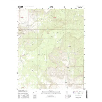
2017 Map of Lobo Springs
USGS Topo · Published 2017About this map
Lobo Springs and its namesake Lobo Creek define the central drainage of this high-elevation landscape, where the San Mateo Mountains meet the massive volcanic features of La Jara Mesa and Horace Mesa. Situated within the Cibola National Forest, this terrain is characterized by its vital water sources, including Little Whiskey Spring, Telephone Spring, and De Armand Spring, which have long served travelers and wildlife in an arid environment.
Find a feature on this map
38 named features on this map. Tap any name to fly to it.
Don’t see what you’re looking for? This feature index may not catch every label — zoom into the map to look around manually.
Map Details
Editions of this 2017 Lobo Springs Map
This is the sole edition of this map. No revisions or reprints were ever made.
Other maps of this area

1883 · Mt. Taylor
USGS Topo · 1:250,000

1886 · Mt. Taylor
USGS Topo · 1:250,000

1892 · Mt. Taylor
USGS Topo · 1:250,000

1899 · Mt. Taylor
USGS Topo · 1:250,000

1957 · Lobo Springs
USGS Topo · 1:24,000

1957 · Mount Taylor
USGS Topo · 1:24,000

1957 · Dos Lomas
USGS Topo · 1:24,000

1957 · Grants SE
USGS Topo · 1:24,000

1957 · Mc Cartys
USGS Topo · 1:24,000

1957 · Cubero
USGS Topo · 1:24,000