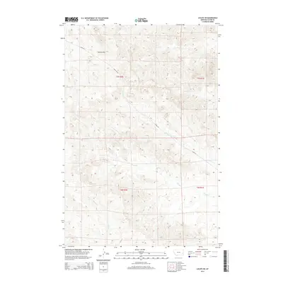
2014 Map of Locate SW
USGS Topo · Published 2014About this map
The Pine Hills dominate the northern landscape of this Custer County quadrangle, where a complex drainage system defines the local geography. The area is characterized by the convergence of several waterways, including Ash Creek and the branching paths of Laney Creek and South Laney Creek. This 2014 survey reveals a sparsely populated terrain primarily accessed via Mispah Road, which winds through the rugged breaks and coulees. The intricate network of seasonal and perennial streams like Strevell Creek and North Strevell Creek illustrates the water-driven erosion patterns typical of eastern Montana. Land researchers will find the Public Land Survey System grids for Townships 6 and 7 North, spanning Ranges 50 and 51 East, clearly delineated across the drainage basins of Johnson Creek and First Creek.
Find a feature on this map
13 named features on this map. Tap any name to fly to it.
Don’t see what you’re looking for? This feature index may not catch every label — zoom into the map to look around manually.
Map Details
Editions of this 2014 Locate SW Map
This is the sole edition of this map. No revisions or reprints were ever made.
Other maps of this area

1953 · Miles City
USGS Topo · 1:250,000

1957 · Miles City
USGS Topo · 1:250,000

1958 · Miles City
USGS Topo · 1:250,000

1969 · Haines Springs
USGS Topo · 1:24,000

1969 · Mizpah
USGS Topo · 1:24,000

1969 · First Creek
USGS Topo · 1:24,000

1969 · Loaf of Bread Butte
USGS Topo · 1:24,000

1969 · Locate SE
USGS Topo · 1:24,000

1969 · The Knob
USGS Topo · 1:24,000

1969 · Buck Mountain
USGS Topo · 1:24,000