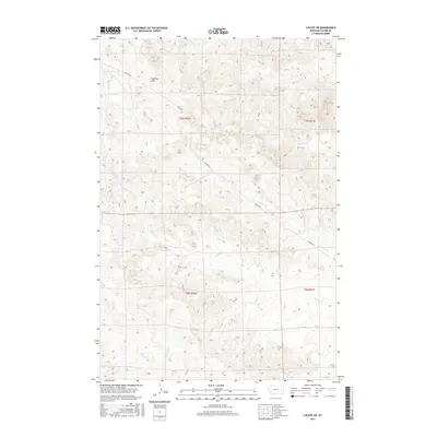
2017 Map of Locate SW
USGS Topo · Published 2017About this map
The Pine Hills dominate the northern terrain of this Custer County landscape, characterized by a complex network of seasonal drainages and ridge lines. Central to the area's geography is the winding path of Mispah Rd, which traverses the hills from the northwest toward the southeast, crossing several branches of the regional water system. The drainage pattern is particularly intricate here, featuring the headwaters and convergences of Strevell Cr and its northern branch, N Strevell Cr. These ephemeral waterways, along with others like Laney Cr and its southern counterpart S Laney Cr, reveal the natural erosion patterns that have sculpted this part of Montana. The lack of concentrated settlements highlights the area's rural character, where land use is primarily defined by the topographic constraints of the hills and the seasonal flow of creeks such as Ash Cr and Johnson Cr.
Find a feature on this map
13 named features on this map. Tap any name to fly to it.
Don’t see what you’re looking for? This feature index may not catch every label — zoom into the map to look around manually.
Map Details
Editions of this 2017 Locate SW Map
This is the sole edition of this map. No revisions or reprints were ever made.
Other maps of this area

1953 · Miles City
USGS Topo · 1:250,000

1957 · Miles City
USGS Topo · 1:250,000

1958 · Miles City
USGS Topo · 1:250,000

1969 · Haines Springs
USGS Topo · 1:24,000

1969 · Mizpah
USGS Topo · 1:24,000

1969 · First Creek
USGS Topo · 1:24,000

1969 · Loaf of Bread Butte
USGS Topo · 1:24,000

1969 · Locate SE
USGS Topo · 1:24,000

1969 · The Knob
USGS Topo · 1:24,000

1969 · Buck Mountain
USGS Topo · 1:24,000