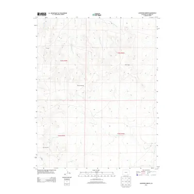
2013 Map of Lockwood Arroyo
USGS Topo · Published 2013About this map
J B Windmill stands as a solitary landmark in this arid stretch of Las Animas County, serving as a reminder of the ranching infrastructure required to survive in the high plains of southern Colorado. The landscape is defined by an intricate network of drainage systems, including Taylor Arroyo and the multiple branches of E Bear Springs Arroyo, W Bear Springs Arroyo, and Middle Bear Springs Arroyo. These seasonal waterways carve through the terrain, separating the Bear Springs Hills from the Big Arroyo Hills to the south.
Find a feature on this map
14 named features on this map. Tap any name to fly to it.
Don’t see what you’re looking for? This feature index may not catch every label — zoom into the map to look around manually.
Map Details
Editions of this 2013 Lockwood Arroyo Map
This is the sole edition of this map. No revisions or reprints were ever made.
Other maps of this area

1891 · Timpas
USGS Topo · 1:125,000

1891 · Apishapa
USGS Topo · 1:125,000

1891 · Mesa De Maya
USGS Topo · 1:125,000

1892 · Elmoro
USGS Topo · 1:125,000

1893 · Apishapa
USGS Topo · 1:125,000

1893 · Elmoro
USGS Topo · 1:125,000

1893 · Mesa de Maya
USGS Topo · 1:125,000

1894 · Timpas
USGS Topo · 1:125,000

1897 · Elmoro
USGS Topo · 1:125,000

1897 · Apishapa
USGS Topo · 1:125,000