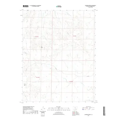
2019 Map of Lockwood Arroyo
USGS Topo · Published 2019About this map
Lockwood Arroyo cuts a primary drainage path across this high plains landscape of Las Animas County, where a network of seasonal watercourses defines the local topography. The map illustrates a series of distinct drainage systems, including W Bear Springs Arroyo, Middle Bear Springs Arroyo, and E Bear-Springs Arroyo, which flow from the elevated Bear Springs Hills. This 2019 survey documents a sparsely populated ranching region, marked largely by its natural landforms and a limited road network consisting of Red Rock Rd and Co Rd 78.9. Further south, the Big Arroyo Hills rise above the drainage of Taylor Arroyo, showing the classic basin-and-range style erosion patterns typical of southern Colorado's arid geography before the landscape transitions toward the New Mexico border.
Find a feature on this map
13 named features on this map. Tap any name to fly to it.
Don’t see what you’re looking for? This feature index may not catch every label — zoom into the map to look around manually.
Map Details
Editions of this 2019 Lockwood Arroyo Map
This is the sole edition of this map. No revisions or reprints were ever made.
Other maps of this area

1891 · Timpas
USGS Topo · 1:125,000

1891 · Apishapa
USGS Topo · 1:125,000

1891 · Mesa De Maya
USGS Topo · 1:125,000

1892 · Elmoro
USGS Topo · 1:125,000

1893 · Apishapa
USGS Topo · 1:125,000

1893 · Elmoro
USGS Topo · 1:125,000

1893 · Mesa de Maya
USGS Topo · 1:125,000

1894 · Timpas
USGS Topo · 1:125,000

1897 · Elmoro
USGS Topo · 1:125,000

1897 · Apishapa
USGS Topo · 1:125,000