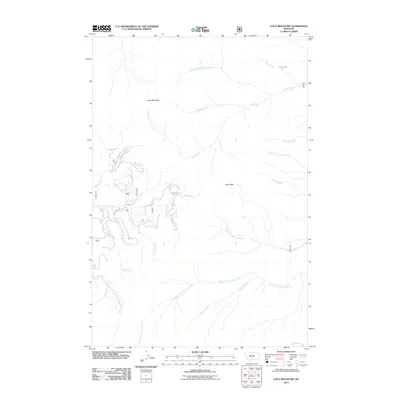
2011 Map of Loco Mountain
USGS Topo · Published 2011About this map
Loco Mountain and Lebo Peak dominate this high-elevation landscape in Park County, where complex headwater drainage patterns define the geography. The area serves as a significant hydrological divide, sending waters through numerous named forks including the Middle Fork Big Elk Creek and the South Fork American Fork. A lone high-country water body, Elk Lake, sits near the northeastern corner of the quadrangle. Human infrastructure is sparse in this mountainous terrain, centered primarily on the corridor following the Shields River. The presence of Shields River Rd and various forest routes provides the only vehicular access through a territory otherwise defined by its rugged creek systems, such as Miners Creek, Lodgepole Creek, and Scofield Creek.
Find a feature on this map
24 named features on this map. Tap any name to fly to it.
Don’t see what you’re looking for? This feature index may not catch every label — zoom into the map to look around manually.
Map Details
Editions of this 2011 Loco Mountain Map
This is the sole edition of this map. No revisions or reprints were ever made.
Other maps of this area

1886 · Little Belt Mts.
USGS Topo · 1:250,000

1894 · Little Belt Mts.
USGS Topo · 1:250,000

1897 · Little Belt Mts.
USGS Topo · 1:250,000

1898 · Little Belt Mts.
USGS Topo · 1:250,000

1902 · Little Belt Mts.
USGS Topo · 1:250,000

1948 · White Sulphur Springs
USGS Topo · 1:250,000

1958 · White Sulphur Springs
USGS Topo · 1:250,000

1961 · White Sulphur Springs
USGS Topo · 1:250,000

1965 · White Sulphur Springs
USGS Topo · 1:250,000
1972 · Virginia Peak
USGS Topo · 1:24,000