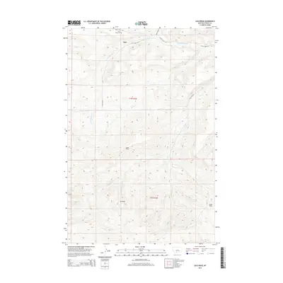
2014 Map of Loco Ridge
USGS Topo · Published 2014About this map
The settlement of Piper stands as the primary namesake for this 2014 survey of Fergus County, Montana. The landscape is defined by the high, undulating spine of Loco Ridge, which separates the drainages of S Fork McDonald Cr to the north and the complex basin of Tyler Cr to the south. Historically-minded researchers will note the Great Divide Cem situated along Forest Grove Rd, a key landmark for local genealogy in this remote portion of the state. The topography drops away into the distinctive depression of Gyp Basin and terminates at the prominent elevation of Lyons Butte. The network of secondary roads like Piper Cutoff N and Tyler Creek Rd illustrates the rural connectivity of these central Montana highlands, where drainage patterns from Duncan Cr and W Fork Tyler Cr dictate the local travel routes through the ridge country.
Find a feature on this map
16 named features on this map. Tap any name to fly to it.
Don’t see what you’re looking for? This feature index may not catch every label — zoom into the map to look around manually.
Map Details
Editions of this 2014 Loco Ridge Map
This is the sole edition of this map. No revisions or reprints were ever made.
Other maps of this area

1889 · Big Snowy Mountain
USGS Topo · 1:250,000

1893 · Big Snowy Mountain
USGS Topo · 1:250,000

1941 · Lewistown
USGS Topo · 1:62,500

1941 · Judith Peak
USGS Topo · 1:62,500

1944 · Lewistown
USGS Topo · 1:62,500

1944 · Judith Peak
USGS Topo · 1:62,500

1954 · Roundup
USGS Topo · 1:250,000

1954 · Lewistown
USGS Topo · 1:250,000

1958 · Roundup
USGS Topo · 1:250,000

1959 · Lewistown
USGS Topo · 1:250,000