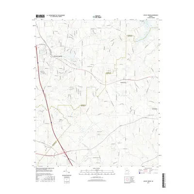
2017 Map of Locust Grove
USGS Topo · Published 2017About this map
Locust Grove and Jenkinsburg anchor this 2017 study of the Georgia Piedmont, where the suburban expansion of the Atlanta metro area meets the traditional rural landscapes of Henry and Butts Counties. The terrain is defined by a dense network of watercourses including the Towaliga River, Wolf Cr, and Big Sandy Cr, which drain a rolling landscape increasingly subdivided by residential developments like those around Skyland Lake and Davis Lake. For researchers of local history, the map preserves the location of several family-named landmarks and historical sites, such as the Henley-Heflin Cem and Patrick Cem. The transition from old agricultural tracks like Peeksville Rd and Leguin Mill Rd to modern corridors like Bill Gardner Pkwy illustrates the region's rapid development at the start of the twenty-first century, while places like England Chapel remain as focal points for the community.
Find a feature on this map
155 named features on this map. Tap any name to fly to it.
Don’t see what you’re looking for? This feature index may not catch every label — zoom into the map to look around manually.
Map Details
Editions of this 2017 Locust Grove Map
This is the sole edition of this map. No revisions or reprints were ever made.
Other maps of this area

1951 · Forsyth
USGS Topo · 1:62,500

1951 · Barnesville
USGS Topo · 1:62,500

1953 · Atlanta
USGS Topo · 1:250,000

1953 · Athens
USGS Topo · 1:250,000

1957 · Atlanta
USGS Topo · 1:250,000

1958 · Athens
USGS Topo · 1:250,000

1958 · Atlanta
USGS Topo · 1:250,000

1959 · Athens
USGS Topo · 1:250,000

1963 · Athens
USGS Topo · 1:250,000

1964 · Luella
USGS Topo · 1:24,000