Loading...
Loading map...2024 Map of Locust Grove
USGS Topo · Published 2024About this map
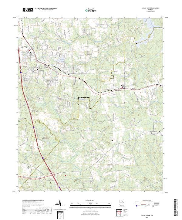
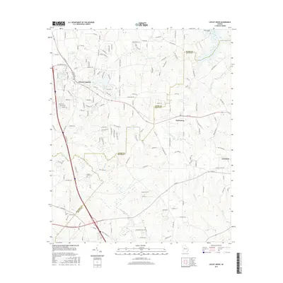
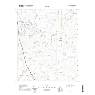
Locust Grove and Jenkinsburg anchor this 2024 landscape at the intersection of Henry, Butts, and Spalding counties. This modern topographic record captures a region defined by its traditional small-town cores and burgeoning suburban road networks, such as Cotton Fields Rd and Jubilee Blvd. The drainage of the Towaliga River and Indian Creek shapes the local topography, which is dotted with numerous small lakes including Davis Lake, Hetrick Lake, and Skyland Lake.
Find a feature on this map
179 named features on this map. Tap any name to fly to it.
Don’t see what you’re looking for? This feature index may not catch every label — zoom into the map to look around manually.
Map Details
Date Portrayed2024
Date Published2024
PublisherU.S. Geological Survey
Map TypeTopographic
Scale1:24,000
Physical Dimensions24 x 29 inches
Editions of this 2024 Locust Grove Map
This is the sole edition of this map. No revisions or reprints were ever made.
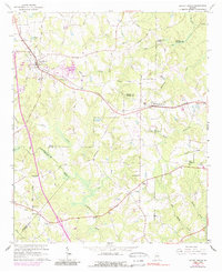
Historical Maps of Locust Grove Through Time
6 maps found
Featured Locations
Source Details
SourceU.S. Geological Survey
CopyrightPublic Domain