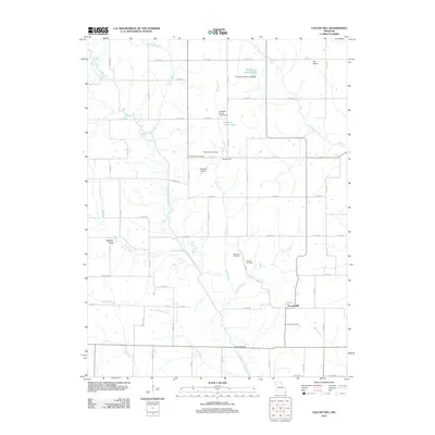
2021 Map of Locust Hill
USGS Topo · Published 2021About this map
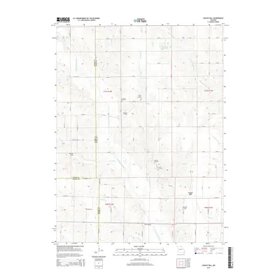
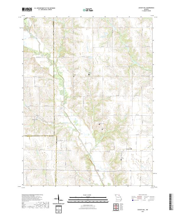
Locust Hill serves as a central point in this rural landscape where Adair, Macon, and Knox counties meet. The area is defined by the headwaters and drainage basins of several significant regional waterways, including the North Fork Salt River and the Little Fabius River. The settlement pattern is characterized by scattered farmsteads connected by a dense network of county roads, with local history preserved in numerous small burial grounds such as Lansberry Cem, Mount Tabor Cem, and Shelton Cem. Water management is evident through features like Hurdland Severs Lake and Gelbach Farms Lake, while crossing points like Feltz Bridge over the North Fork Salt River highlight the historical travel routes between these rural communities.
Find a feature on this map
67 named features on this map. Tap any name to fly to it.
Don’t see what you’re looking for? This feature index may not catch every label — zoom into the map to look around manually.
Map Details
Editions of this 2021 Locust Hill Map
This is the sole edition of this map. No revisions or reprints were ever made.
Historical Maps of Locust Hill Through Time
10 maps found