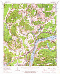
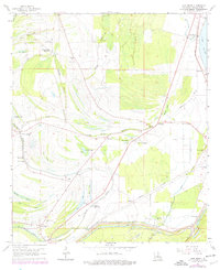
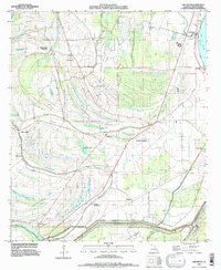
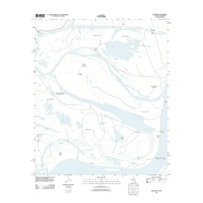
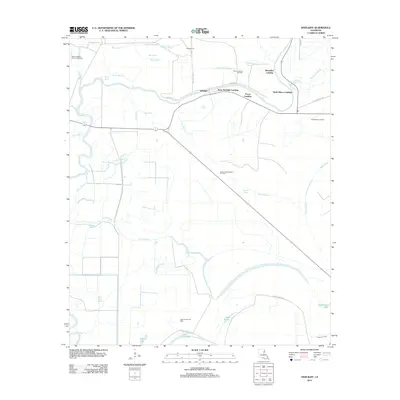
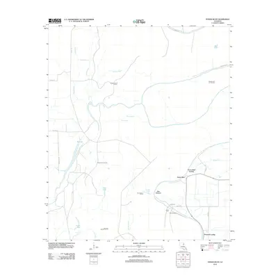
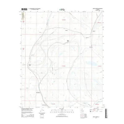
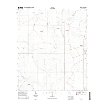
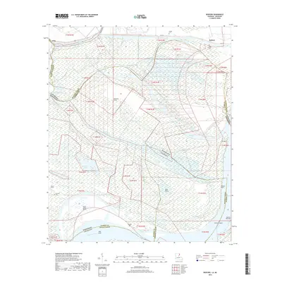
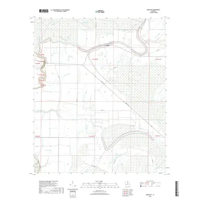
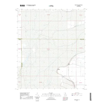
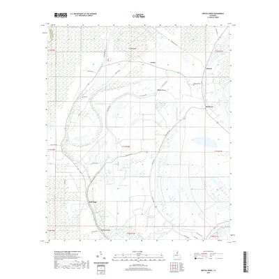
1965 Map of Locust Ridge
USGS Topo · Published 1967About this map
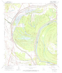
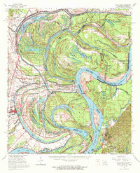
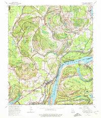
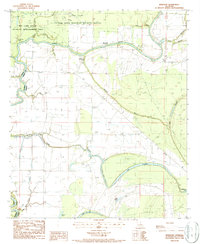
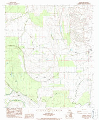
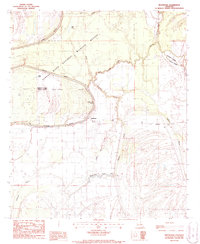
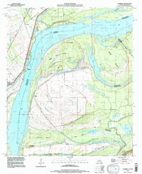
The Mississippi River defines this landscape of fertile bottomlands and winding oxbows along the Tensas Parish and Jefferson Co border. Large agricultural estates like Arcola Plantation, Mound Plantation, and Newfoundland Plantation dominate the geography, reflecting the enduring plantation economy and the complex drainage of the river delta. The Missouri Pacific railroad cuts through the western portion, connecting small riverside and rail settlements like Waterproof, Goldman, and Azucena.
Find a feature on this map
124 named features on this map. Tap any name to fly to it.
Don’t see what you’re looking for? This feature index may not catch every label — zoom into the map to look around manually.
Map Details
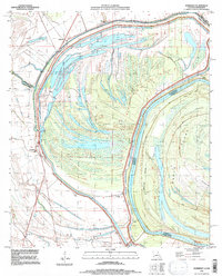
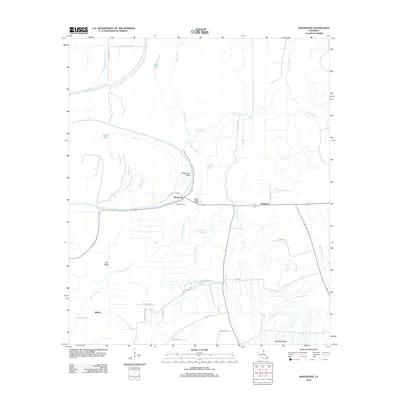
Editions of this 1965 Locust Ridge Map
2 editions found
Historical Maps of Saint Joseph Through Time
72 maps found

1909 Delta Bridge
Tensas Parish, LA

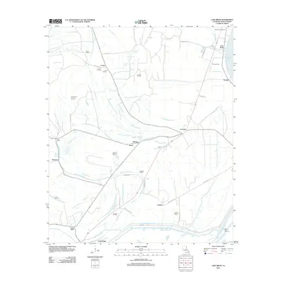
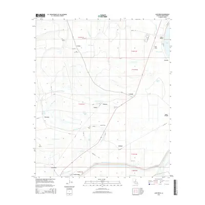
1909 Lake Bruen
Tensas Parish, LA
1935 Shackleford Lake
Tensas Parish, LA

1939 Locust Ridge
Tensas Parish, LA

1958 Shackleford Lake
Tensas Parish, LA
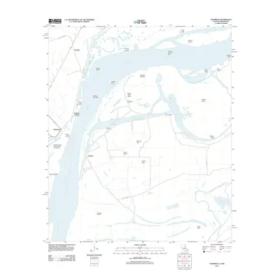
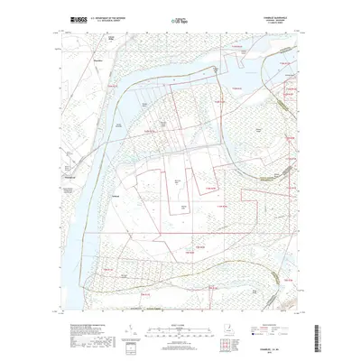
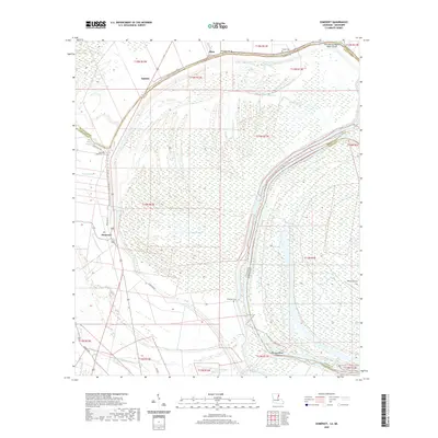
1963 Chamblee
Tensas Parish, LA
1963 Gretna Green
Tensas Parish, LA
1963 Lake Bruin
Tensas Parish, LA
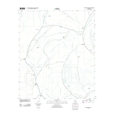
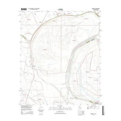
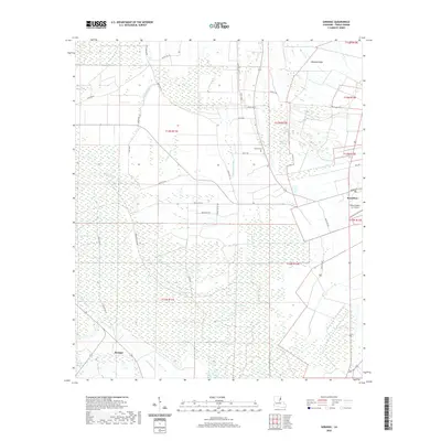
1963 Somerset
Tensas Parish, LA
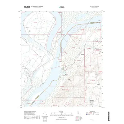
1965 Davis Island
Tensas Parish, LA
1965 Locust Ridge
Tensas Parish, LA
1987 NewLight
Tensas Parish, LA
1987 Saranac
Tensas Parish, LA

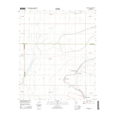
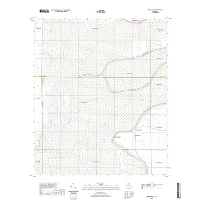
1987 Tensas Bluff
Tensas Parish, LA
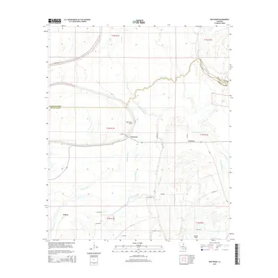
1987 Westwood
Tensas Parish, LA
1994 Chamblee
Tensas Parish, LA
1994 Lake Bruin
Tensas Parish, LA

1994 Saranac
Tensas Parish, LA
1994 Somerset
Tensas Parish, LA
1998 Gretna Green
Tensas Parish, LA

1998 Tensas Bluff
Tensas Parish, LA
1998 Westwood
Tensas Parish, LA
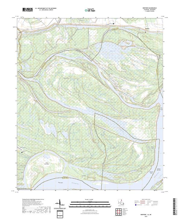
2012 Bedford
Tensas Parish, LA
2012 Chamblee
Tensas Parish, LA
2012 Gretna Green
Tensas Parish, LA
2012 Lake Bruin
Tensas Parish, LA
2012 Newlight
Tensas Parish, LA
2012 Saint Joseph
Tensas Parish, LA
2012 Saranac
Tensas Parish, LA
2012 Somerset
Tensas Parish, LA
2012 Tensas Bluff
Tensas Parish, LA
2012 Westwood
Tensas Parish, LA
2015 Bedford
Tensas Parish, LA
2015 Chamblee
Tensas Parish, LA
2015 Gretna Green
Tensas Parish, LA
2015 Lake Bruin
Tensas Parish, LA
2015 Newlight
Tensas Parish, LA
2015 Saint Joseph
Tensas Parish, LA
2015 Saranac
Tensas Parish, LA
2015 Somerset
Tensas Parish, LA
2015 Tensas Bluff
Tensas Parish, LA
2015 Westwood
Tensas Parish, LA
2018 Bedford
Tensas Parish, LA
2018 Chamblee
Tensas Parish, LA
2018 Gretna Green
Tensas Parish, LA
2018 Lake Bruin
Tensas Parish, LA
2018 Newlight
Tensas Parish, LA
2018 Saint Joseph
Tensas Parish, LA
2018 Saranac
Tensas Parish, LA
2018 Somerset
Tensas Parish, LA
2018 Tensas Bluff
Tensas Parish, LA
2018 Westwood
Tensas Parish, LA
2020 Bedford
Tensas Parish, LA
2020 Chamblee
Tensas Parish, LA
2020 Gretna Green
Tensas Parish, LA
2020 Lake Bruin
Tensas Parish, LA
2020 Newlight
Tensas Parish, LA
2020 Saint Joseph
Tensas Parish, LA
2020 Saranac
Tensas Parish, LA
2020 Somerset
Tensas Parish, LA
2020 Tensas Bluff
Tensas Parish, LA

2020 Westwood
Tensas Parish, LA
2024 Bedford
Tensas Parish, LA
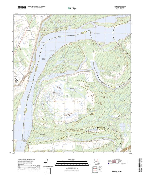
2024 Chamblee
Tensas Parish, LA
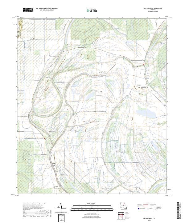
2024 Gretna Green
Tensas Parish, LA
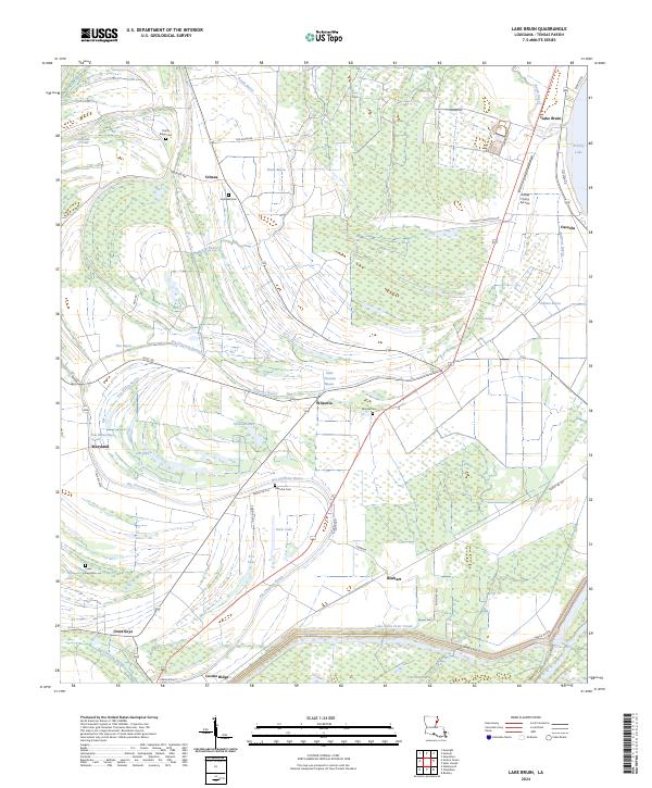
2024 Lake Bruin
Tensas Parish, LA
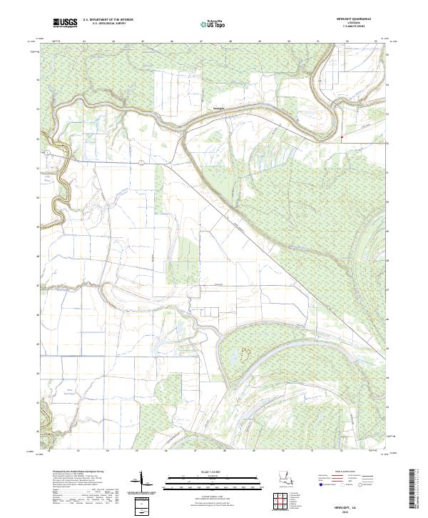
2024 Newlight
Tensas Parish, LA
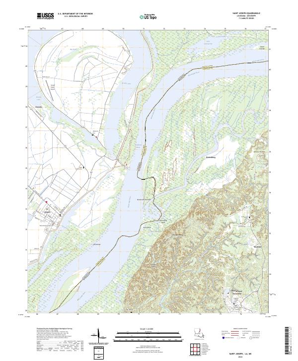
2024 Saint Joseph
Tensas Parish, LA

2024 Saranac
Tensas Parish, LA
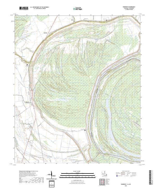
2024 Somerset
Tensas Parish, LA
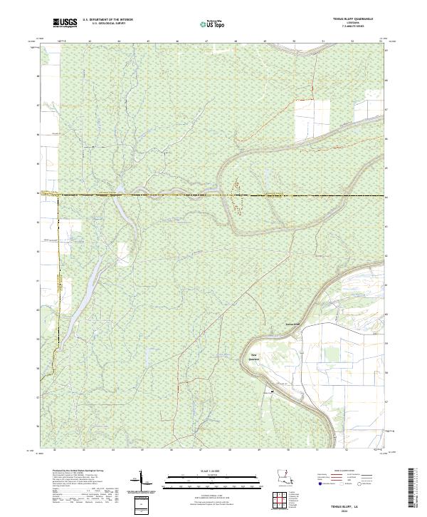
2024 Tensas Bluff
Tensas Parish, LA
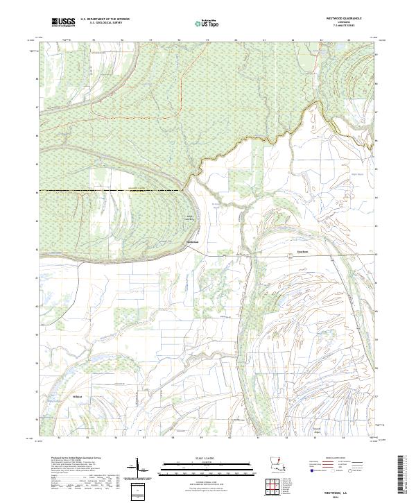
2024 Westwood
Tensas Parish, LA