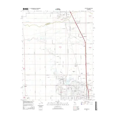
2015 Map of Lodi North
USGS Topo · Published 2015About this map
Galt and northern Lodi anchor this 2015 survey of the northern San Joaquin Valley, where the transition between Sacramento and San Joaquin Counties occurs. The landscape is defined by the winding course of the Mokelumne River as it passes through the community of Woodbridge and the small settlements of Collierville and Acampo. This area represents a deeply established agricultural corridor, indicated by the extensive network of irrigation features like the W Main Canal and the presence of numerous family-named roads and rural infrastructure.
Find a feature on this map
81 named features on this map. Tap any name to fly to it.
Don’t see what you’re looking for? This feature index may not catch every label — zoom into the map to look around manually.
Map Details
Editions of this 2015 Lodi North Map
This is the sole edition of this map. No revisions or reprints were ever made.
Other maps of this area

1894 · Lodi
USGS Topo · 1:125,000

1908 · Waterloo
USGS Topo · 1:31,680

1908 · Lockeford
USGS Topo · 1:31,680

1909 · Clay
USGS Topo · 1:31,680

1910 · New Hope
USGS Topo · 1:31,680

1910 · Castle
USGS Topo · 1:31,680

1910 · Woodbridge
USGS Topo · 1:31,680

1910 · Bruceville
USGS Topo · 1:31,680

1910 · Headreach
USGS Topo · 1:31,680

1910 · Galt
USGS Topo · 1:31,680