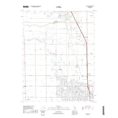
2018 Map of Lodi North
USGS Topo · Published 2018About this map
The Mokelumne River winds through this central California landscape, defining the transition between the Sacramento Valley and the San Joaquin Valley. This modern survey records the northern reaches of Lodi and the southern edge of Galt, illustrating the density of small agricultural settlements that characterize the region. Smaller hubs like Woodbridge, Acampo, and Collierville are interconnected by a meticulous grid of rural roads and irrigation features like the W Main Canal.
Find a feature on this map
165 named features on this map. Tap any name to fly to it.
Don’t see what you’re looking for? This feature index may not catch every label — zoom into the map to look around manually.
Map Details
Editions of this 2018 Lodi North Map
This is the sole edition of this map. No revisions or reprints were ever made.
Other maps of this area

1894 · Lodi
USGS Topo · 1:125,000

1908 · Waterloo
USGS Topo · 1:31,680

1908 · Lockeford
USGS Topo · 1:31,680

1909 · Clay
USGS Topo · 1:31,680

1910 · New Hope
USGS Topo · 1:31,680

1910 · Castle
USGS Topo · 1:31,680

1910 · Woodbridge
USGS Topo · 1:31,680

1910 · Bruceville
USGS Topo · 1:31,680

1910 · Headreach
USGS Topo · 1:31,680

1910 · Galt
USGS Topo · 1:31,680