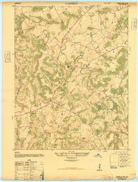
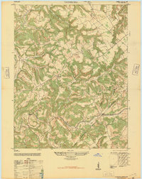
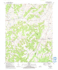
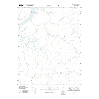
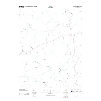
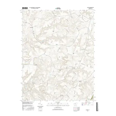
1953 Map of Lodiburg
USGS Topo · Published 1983About this map
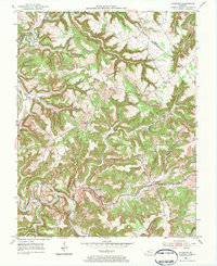
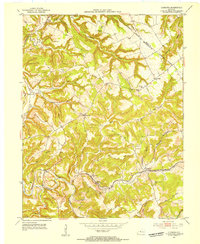
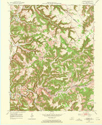
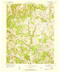
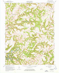
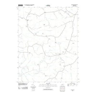
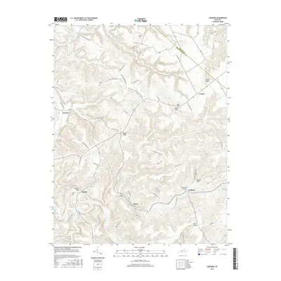
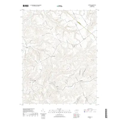
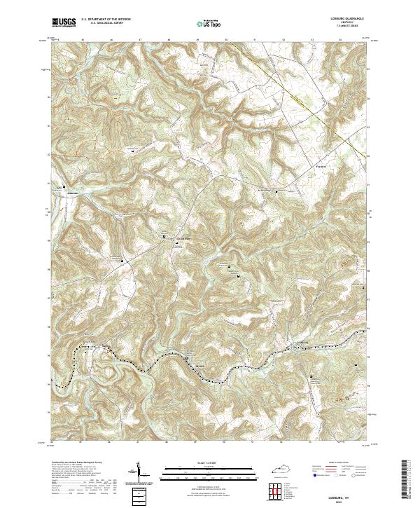
Dry Valley and the winding course of Sinking Creek dominate the landscape of northern Breckinridge County in the early 1950s. This survey illustrates a rural interior defined by narrow ridges and hollows, where small settlements like Union Star and Lodiburg serve as local hubs for the surrounding farmsteads. The Louisville and Nashville railroad cuts through the southern portion of the sheet, paralleling the creek and providing a critical link for the area's agricultural and industrial output, including stone from the local Quarry. Significant for genealogists, the map identifies several rural congregations and burial sites, such as the Union Star Ch, Sample Ch, and Shelman Cem. The terrain is characterized by a dense network of runs and branches, including Yellowbank Creek and Sugar Tree Run, which shaped the early road patterns and property lines of the region.
Find a feature on this map
36 named features on this map. Tap any name to fly to it.
Don’t see what you’re looking for? This feature index may not catch every label — zoom into the map to look around manually.
Map Details
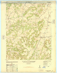
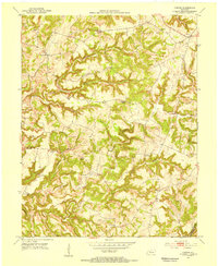
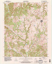
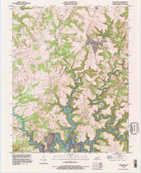
Editions of this 1953 Lodiburg Map
3 editions found
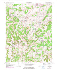
Historical Maps of Frymire Through Time
52 maps found
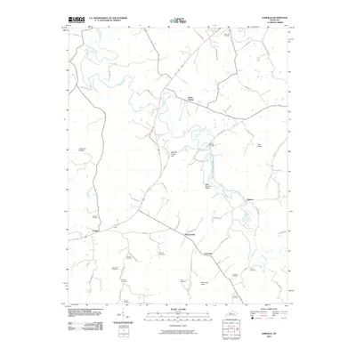
1947 Garfield
Breckinridge County, KY
1947 Lodiburg
Breckinridge County, KY
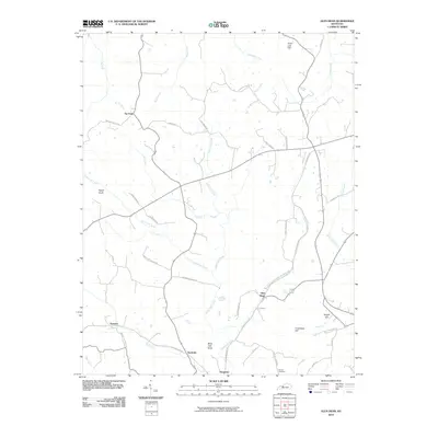
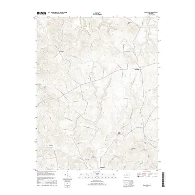
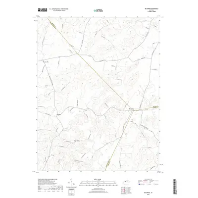
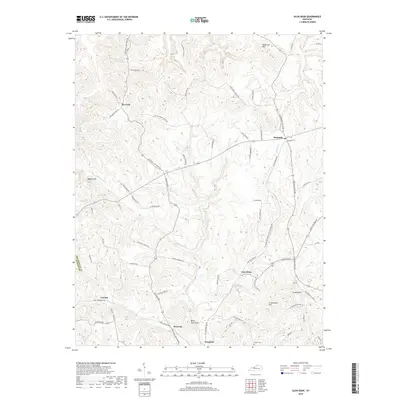
1948 Big Spring
Breckinridge County, KY
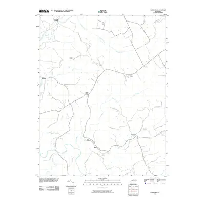
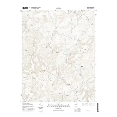
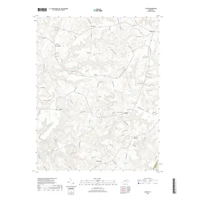
1953 Custer
Breckinridge County, KY
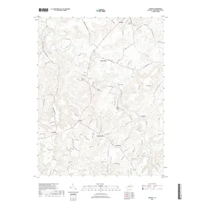
1953 Garfield
Breckinridge County, KY
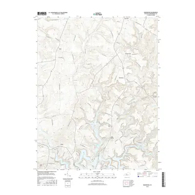
1953 Glen Dean
Breckinridge County, KY
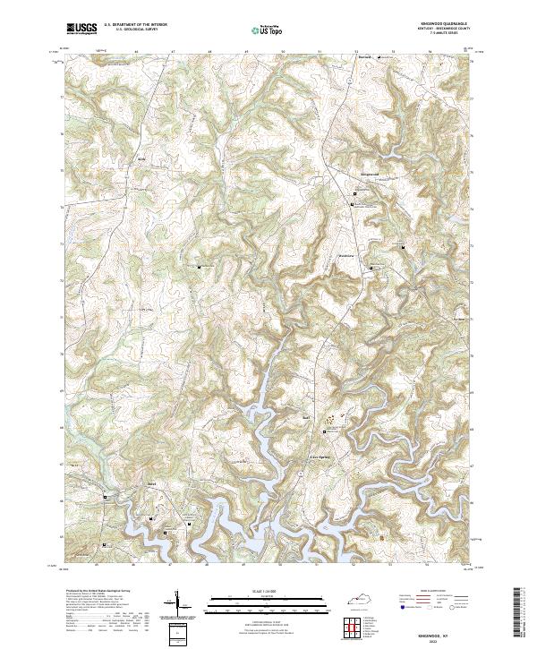
1953 Kingswood
Breckinridge County, KY
1953 Lodiburg
Breckinridge County, KY
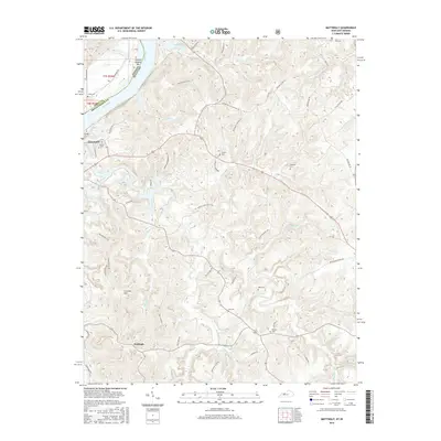
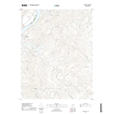
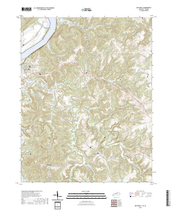
1953 Mattingly
Breckinridge County, KY
1961 Big Spring
Breckinridge County, KY
1963 Custer
Breckinridge County, KY
1963 Glen Dean
Breckinridge County, KY
1963 Kingswood
Breckinridge County, KY
1970 Mattingly
Breckinridge County, KY
1991 Big Spring
Breckinridge County, KY
1993 Glen Dean
Breckinridge County, KY
1993 Kingswood
Breckinridge County, KY
2010 Big Spring
Breckinridge County, KY
2010 Custer
Breckinridge County, KY
2010 Garfield
Breckinridge County, KY
2010 Glen Dean
Breckinridge County, KY

2010 Kingswood
Breckinridge County, KY
2010 Lodiburg
Breckinridge County, KY
2010 Mattingly
Breckinridge County, KY
2013 Big Spring
Breckinridge County, KY
2013 Custer
Breckinridge County, KY
2013 Garfield
Breckinridge County, KY
2013 Glen Dean
Breckinridge County, KY

2013 Kingswood
Breckinridge County, KY
2013 Lodiburg
Breckinridge County, KY
2013 Mattingly
Breckinridge County, KY
2016 Big Spring
Breckinridge County, KY
2016 Custer
Breckinridge County, KY
2016 Garfield
Breckinridge County, KY
2016 Glen Dean
Breckinridge County, KY
2016 Kingswood
Breckinridge County, KY
2016 Lodiburg
Breckinridge County, KY
2016 Mattingly
Breckinridge County, KY
2019 Big Spring
Breckinridge County, KY
2019 Custer
Breckinridge County, KY
2019 Garfield
Breckinridge County, KY
2019 Glen Dean
Breckinridge County, KY

2019 Kingswood
Breckinridge County, KY
2019 Lodiburg
Breckinridge County, KY
2019 Mattingly
Breckinridge County, KY
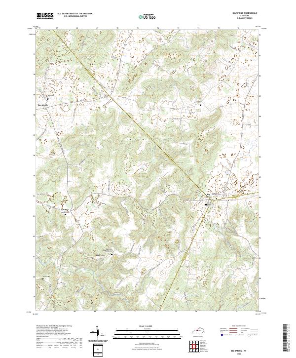
2022 Big Spring
Breckinridge County, KY
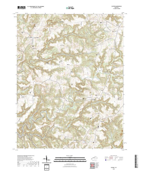
2022 Custer
Breckinridge County, KY
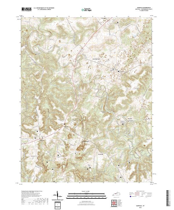
2022 Garfield
Breckinridge County, KY
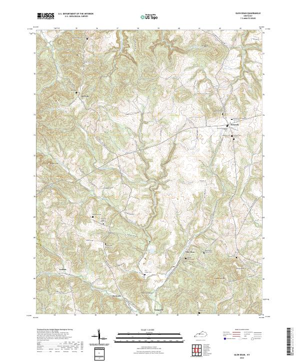
2022 Glen Dean
Breckinridge County, KY
2022 Kingswood
Breckinridge County, KY
2022 Lodiburg
Breckinridge County, KY
2022 Mattingly
Breckinridge County, KY