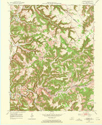
1953 Map of Lodiburg
USGS Topo · Published 1971About this map
The Louisville and Nashville railroad winds through the deep southern valleys of this terrain, following the course of Sinking Creek as it carves through the landscape. This 1953 survey captures a rural landscape defined by narrow ridges and steep hollows, such as Newhope Hollow and Argabright Hollow, where small communities like Lodiburg and Mystic found purchase near the water and rail lines.
Find a feature on this map
35 named features on this map. Tap any name to fly to it.
Don’t see what you’re looking for? This feature index may not catch every label — zoom into the map to look around manually.
Map Details
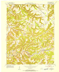
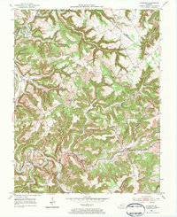
Editions of this 1953 Lodiburg Map
3 editions found
Other maps of this area

1928 · Hardinsburg
USGS Topo · 1:48,000

1931 · Hardinsburg
USGS Topo · 1:62,500

1934 · Cannelton
USGS Topo · 1:62,500

1947 · Irvington
USGS Topo · 1:24,000

1947 · Lodiburg
USGS Topo · 1:24,000

1947 · Hardinsburg
USGS Topo · 1:24,000

1947 · Garfield
USGS Topo · 1:24,000

1947 · Hardinsburg
USGS Topo · 1:62,500
1950 · New Amsterdam
USGS Topo · 1:24,000

1950 · Alton
USGS Topo · 1:62,500