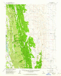
1960 Map of Lodoga
USGS Topo · Published 1962About this map
Lodoga sits at the junction of the coastal mountains and the agricultural interior, a landscape defined by the parallel ridges and valleys of the California Coast Ranges in the early 1960s. The settlement pattern follows the drainages of Indian Valley and Antelope Valley, where rural life is anchored by facilities like the Little Stony Sch and Little Antelope Sch. The map reveals a complex water management and transit system, featuring the East Park Reservoir on Stony Creek and the winding Minton Grade that navigates the steep descent from Seminary Ridge. Along the eastern edge, the topography flattens toward the Sacramento Valley, marked by the agricultural development of Mills Orchards. Historic landmarks such as Swifts Stone Corral and various storage bins and radio facilities indicate the region's reliance on both traditional ranching and modern infrastructure during this era.
Find a feature on this map
63 named features on this map. Tap any name to fly to it.
Don’t see what you’re looking for? This feature index may not catch every label — zoom into the map to look around manually.
Map Details
Editions of this 1960 Lodoga Map
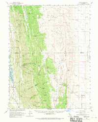
2 editions found
Other maps of this area

1904 · Logan Creek
USGS Topo · 1:24,000

1904 · Sites
USGS Topo · 1:24,000

1905 · Fairview
USGS Topo · 1:24,000

1906 · Maxwell
USGS Topo · 1:62,500

1906 · Willows
USGS Topo · 1:62,500

1907 · Colusa
USGS Topo · 1:62,500

1917 · Kurand
USGS Topo · 1:31,680

1917 · Lyman
USGS Topo · 1:31,680

1917 · Logandale
USGS Topo · 1:31,680

1917 · Sites
USGS Topo · 1:31,680