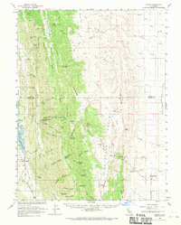
1960 Map of Lodoga
USGS Topo · Published 1970About this map
Lodoga serves as the primary settlement on this landscape where the inner Coast Ranges meet the Sacramento Valley floor. The area is defined by a series of parallel ridges, including Seminary Ridge and Clark Ridge, which channel water through complex drainage systems like Indian Creek and Lurline Creek. To the west, the East Park Reservoir dominates the valley floor near the Little Stony Sch, marking a significant point of water management for the region.
Find a feature on this map
67 named features on this map. Tap any name to fly to it.
Don’t see what you’re looking for? This feature index may not catch every label — zoom into the map to look around manually.
Map Details
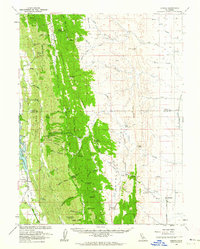
Editions of this 1960 Lodoga Map
2 editions found
Other maps of this area

1904 · Logan Creek
USGS Topo · 1:24,000

1904 · Sites
USGS Topo · 1:24,000

1905 · Fairview
USGS Topo · 1:24,000

1906 · Maxwell
USGS Topo · 1:62,500

1906 · Willows
USGS Topo · 1:62,500

1907 · Colusa
USGS Topo · 1:62,500

1917 · Kurand
USGS Topo · 1:31,680

1917 · Lyman
USGS Topo · 1:31,680

1917 · Logandale
USGS Topo · 1:31,680

1917 · Sites
USGS Topo · 1:31,680