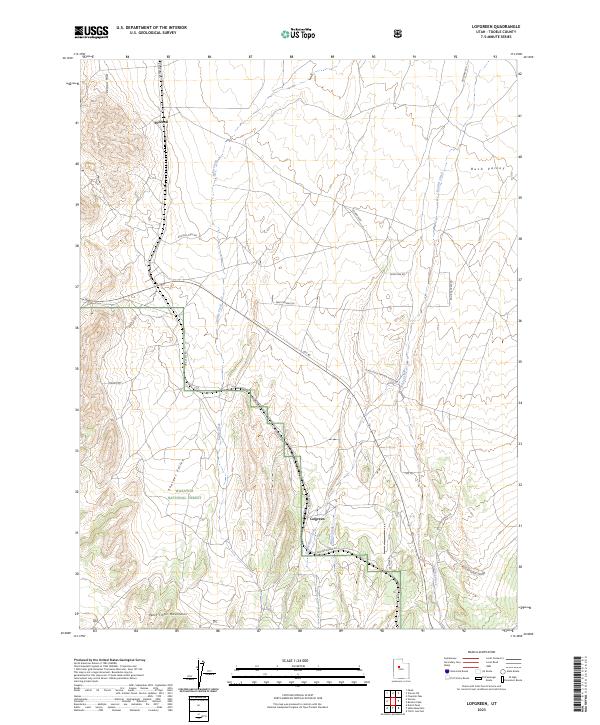
2023 Map of Lofgreen
USGS Topo · Published 2023About this map
Lofgreen and Pehrson are the primary points of human settlement in this high-desert basin, situated where the Vernon Hills meet the northern reaches of the West Tintic Mountains. The landscape is defined by the broad transition from Rush Valley into Sharpes Valley, a corridor shaped by seasonal watercourses like Sable Creek and Boulter Creek. This 2023 edition reveals a network of specialized access routes, including Ohv RD and various ranch and railroad access roads, reflecting a modern land use pattern of recreation and range management within the Wasatch National Forest. The map detail follows the drainage systems of Dog Hollow Creek and Brush Creek as they cut through the alluvial fans of the desert floor, providing a precise record of the current physical and infrastructure state of this Tooele County territory.
Find a feature on this map
28 named features on this map. Tap any name to fly to it.
Don’t see what you’re looking for? This feature index may not catch every label — zoom into the map to look around manually.
Map Details
Editions of this 2023 Lofgreen Map
This is the sole edition of this map. No revisions or reprints were ever made.
Other maps of this area

1885 · Sevier Desert
USGS Topo · 1:250,000

1885 · Tooele Valley
USGS Topo · 1:250,000

1947 · Fivemile Pass
USGS Topo · 1:62,500

1947 · Boulter Peak
USGS Topo · 1:24,000

1949 · Fivemile Pass
USGS Topo · 1:24,000

1953 · Tooele
USGS Topo · 1:250,000

1953 · Delta
USGS Topo · 1:250,000

1954 · Tintic Junction
USGS Topo · 1:24,000

1955 · Tooele
USGS Topo · 1:250,000

1958 · Delta
USGS Topo · 1:250,000