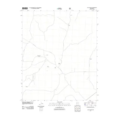
2011 Map of Log Canyon
USGS Topo · Published 2011About this map
Happy Mountain Airport sits at a junction of backcountry routes in this high-elevation landscape within Catron County. The map reveals a network of ranching infrastructure and drainage features, such as J L Draw and Pino Draw, which feed into the eponymous Log Canyon. These draws and canyons dictate the movement across the territory, with roads like Saulsberry Rd and Greens Gap Rd following the natural contours of the land. Established family-named outposts like Bull Ranch and Thurmond Ranch represent the enduring pastoral character of this region. The presence of the Agua Fria Windmill and the specifically named Z Slash Canyon highlights the localized nomenclature of New Mexico's ranching heritage, where every drainage and water source is vital to the local economy.
Find a feature on this map
15 named features on this map. Tap any name to fly to it.
Don’t see what you’re looking for? This feature index may not catch every label — zoom into the map to look around manually.
Map Details
Editions of this 2011 Log Canyon Map
This is the sole edition of this map. No revisions or reprints were ever made.
Other maps of this area

1918 · Pelona
USGS Topo · 1:125,000

1954 · Tularosa
USGS Topo · 1:250,000

1954 · Clifton
USGS Topo · 1:250,000

1954 · Saint Johns
USGS Topo · 1:250,000

1954 · Socorro
USGS Topo · 1:250,000

1957 · Clifton
USGS Topo · 1:250,000

1957 · Saint Johns
USGS Topo · 1:250,000

1958 · Socorro
USGS Topo · 1:250,000

1958 · Clifton
USGS Topo · 1:250,000

1958 · Tularosa
USGS Topo · 1:250,000