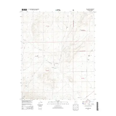
2013 Map of Log Canyon
USGS Topo · Published 2013About this map
Bull Ranch and Thurmond Ranch anchor this high-elevation landscape in western New Mexico, where ranching operations and vast wilderness intersect. The terrain is defined by dramatic drainage systems and volcanic peaks, notably Horse Mtn in the southwest and the eponymous Log Canyon. Water management is central to life here, evidenced by the Agua Fria Windmill and localized sources like Texas Spring and Oak Spring. Much of the eastern portion lies within the Cibola National Forest, showing a network of specialized access routes including Greens Gap Rd and Frontier Trl. The presence of the Happy Mountain Airport north of J L Draw provides a modern navigational landmark in a region characterized by remote draws like Pino Draw and Nester Draw.
Find a feature on this map
30 named features on this map. Tap any name to fly to it.
Don’t see what you’re looking for? This feature index may not catch every label — zoom into the map to look around manually.
Map Details
Editions of this 2013 Log Canyon Map
This is the sole edition of this map. No revisions or reprints were ever made.
Other maps of this area

1918 · Pelona
USGS Topo · 1:125,000

1954 · Tularosa
USGS Topo · 1:250,000

1954 · Clifton
USGS Topo · 1:250,000

1954 · Saint Johns
USGS Topo · 1:250,000

1954 · Socorro
USGS Topo · 1:250,000

1957 · Clifton
USGS Topo · 1:250,000

1957 · Saint Johns
USGS Topo · 1:250,000

1958 · Socorro
USGS Topo · 1:250,000

1958 · Clifton
USGS Topo · 1:250,000

1958 · Tularosa
USGS Topo · 1:250,000