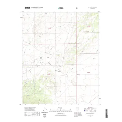
2020 Map of Log Canyon
USGS Topo · Published 2020About this map
Cibola National Forest encompasses much of this high-elevation landscape, where deep drainages like Log Canyon and Sugarloaf Canyon define the area's geography. The presence of Happy Mountain Airport and a small network of airstrip infrastructure suggests the importance of aerial access in this isolated territory. Settlement patterns are sparse, primarily characterized by family-named ranches and roads such as Thomas IV Rd and Old Thomas Ranch Rd, which weave between the various draws and canyons.
Find a feature on this map
47 named features on this map. Tap any name to fly to it.
Don’t see what you’re looking for? This feature index may not catch every label — zoom into the map to look around manually.
Map Details
Editions of this 2020 Log Canyon Map
This is the sole edition of this map. No revisions or reprints were ever made.
Other maps of this area

1918 · Pelona
USGS Topo · 1:125,000

1954 · Tularosa
USGS Topo · 1:250,000

1954 · Clifton
USGS Topo · 1:250,000

1954 · Saint Johns
USGS Topo · 1:250,000

1954 · Socorro
USGS Topo · 1:250,000

1957 · Clifton
USGS Topo · 1:250,000

1957 · Saint Johns
USGS Topo · 1:250,000

1958 · Socorro
USGS Topo · 1:250,000

1958 · Clifton
USGS Topo · 1:250,000

1958 · Tularosa
USGS Topo · 1:250,000