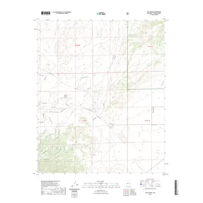
2023 Map of Log Canyon
USGS Topo · Published 2023About this map
Cibola National Forest boundaries define much of this western New Mexico landscape, where high-altitude terrain is dissected by deep drainages like Log Canyon and Z Slash Canyon. The area exhibits a distinct mix of ranching heritage and modern development, evidenced by the network of private lanes and forest roads surrounding Old Thomas Ranch Rd. In the central part of the quadrangle, the presence of Happy Mountain Airport and its associated Airstrip Rd suggests a community utilizing small-scale aviation to navigate this high-country environment.
Find a feature on this map
45 named features on this map. Tap any name to fly to it.
Don’t see what you’re looking for? This feature index may not catch every label — zoom into the map to look around manually.
Map Details
Editions of this 2023 Log Canyon Map
This is the sole edition of this map. No revisions or reprints were ever made.
Other maps of this area

1918 · Pelona
USGS Topo · 1:125,000

1954 · Tularosa
USGS Topo · 1:250,000

1954 · Clifton
USGS Topo · 1:250,000

1954 · Saint Johns
USGS Topo · 1:250,000

1954 · Socorro
USGS Topo · 1:250,000

1957 · Clifton
USGS Topo · 1:250,000

1957 · Saint Johns
USGS Topo · 1:250,000

1958 · Socorro
USGS Topo · 1:250,000

1958 · Clifton
USGS Topo · 1:250,000

1958 · Tularosa
USGS Topo · 1:250,000