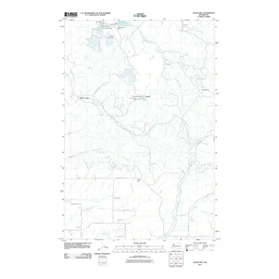
2011 Map of Logan Hill
USGS Topo · Published 2011About this map
Logan Hill and the surrounding rural communities of Lewis County are defined by a complex network of managed waterways and family-named roads. This 2011 survey reveals an engineered landscape where a sequence of impoundments, such as Pond Number Four and Pond Number Seven, are regulated by structures like Dam Number Seven and Dam Number Eight. These features appear concentrated near Kopiah and along the drainage of South Hanaford Creek, suggesting a history of industrial or agricultural water management in the hills east of Centralia.
Find a feature on this map
48 named features on this map. Tap any name to fly to it.
Don’t see what you’re looking for? This feature index may not catch every label — zoom into the map to look around manually.
Map Details
Editions of this 2011 Logan Hill Map
This is the sole edition of this map. No revisions or reprints were ever made.
Other maps of this area

1916 · Chehalis
USGS Topo · 1:125,000

1940 · Tenino
USGS Topo · 1:62,500

1943 · Willapa
USGS Topo · 1:62,500

1944 · Tenino
USGS Topo · 1:62,500

1944 · Yelm
USGS Topo · 1:62,500

1949 · Yelm
USGS Topo · 1:62,500

1949 · Tenino
USGS Topo · 1:62,500

1953 · Hoquiam
USGS Topo · 1:250,000

1954 · Onalaska
USGS Topo · 1:62,500

1954 · Centralia
USGS Topo · 1:62,500