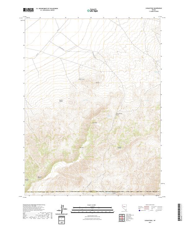
2021 Map of Logan Peak
USGS Topo · Published 2021About this map
The high peaks of the Stillwater Range dominate this Nevada landscape, where the elevation reaches its summit at Logan Peak. This desert environment is defined by its critical water sources, including Mustang Spring, Logan Spring, and the clustered Kitten Springs. The topography is marked by deep cuts such as Logan Canyon and Big Ben Canyon, which drain the steep slopes of Table Mtn. The Kitten Springs Rd provides the primary access route through this arid terrain, following the natural contours of the land.
Find a feature on this map
21 named features on this map. Tap any name to fly to it.
Don’t see what you’re looking for? This feature index may not catch every label — zoom into the map to look around manually.
Map Details
Editions of this 2021 Logan Peak Map
This is the sole edition of this map. No revisions or reprints were ever made.
Other maps of this area

1908 · Carson Sink
USGS Topo · 1:250,000

1910 · Carson Sink
USGS Topo · 1:250,000

1931 · Lovelock
USGS Topo · 1:250,000

1932 · Sonoma Range
USGS Topo · 1:250,000

1935 · Lovelock
USGS Topo · 1:250,000

1939 · Sonoma Range
USGS Topo · 1:250,000

1954 · Buffalo Mtn
USGS Topo · 1:62,500

1955 · Millett
USGS Topo · 1:250,000

1955 · Lovelock
USGS Topo · 1:250,000

1955 · Winnemucca
USGS Topo · 1:250,000