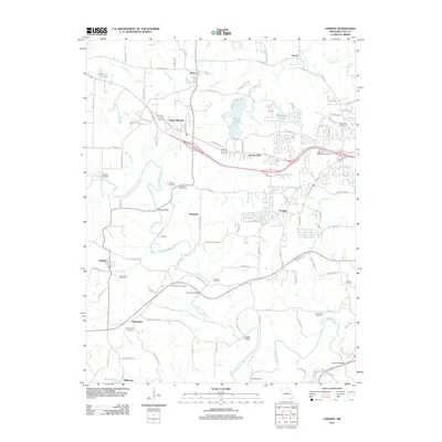
2011 Map of Lohman
USGS Topo · Published 2011About this map
North Moreau Creek and its many tributaries, including Kautsch Branch and Logan Creek, define the landscape of this region west of Jefferson City. Several historic crossings are documented here, including Kohler Bridge, Walser Bridge, and Fish Trap Bridge on the Moreau River. These points of transit, alongside Eberhardt Ford, suggest a long-standing reliance on specific river access points in the local transportation network.
Find a feature on this map
109 named features on this map. Tap any name to fly to it.
Don’t see what you’re looking for? This feature index may not catch every label — zoom into the map to look around manually.
Map Details
Editions of this 2011 Lohman Map
This is the sole edition of this map. No revisions or reprints were ever made.
Other maps of this area

1886 · Jefferson City
USGS Topo · 1:125,000

1888 · Tuscumbia
USGS Topo · 1:125,000

1894 · Tuscumbia
USGS Topo · 1:125,000

1894 · Jefferson City
USGS Topo · 1:125,000

1939 · Jefferson City
USGS Topo · 1:24,000

1939 · Jefferson City
USGS Topo · 1:62,500

1942 · Jefferson City
USGS Topo · 1:62,500

1947 · Jefferson City
USGS Topo · 1:250,000

1948 · Centertown
USGS Topo · 1:62,500

1948 · Meta
USGS Topo · 1:62,500