Loading...
Loading map...2021 Map of Lohman
USGS Topo · Published 2021About this map
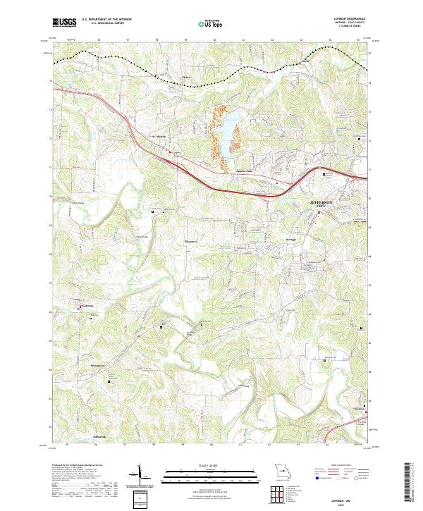
North Moreau Creek and its various tributaries, such as Kautsch Br and Logan Cr, define the drainage and topography of this region west of the Missouri state capital. The landscape is dotted with small rural communities and family-named infrastructure, including Kohler Bridge and Walser Bridge. Settlement patterns follow the high ground between the creek valleys, with several small towns like Lohman, Elston, and St. Martins established along the ridge-running road networks.
Find a feature on this map
63 named features on this map. Tap any name to fly to it.
Don’t see what you’re looking for? This feature index may not catch every label — zoom into the map to look around manually.
Map Details
Date Portrayed2021
Date Published2021
PublisherU.S. Geological Survey
Map TypeTopographic
Scale1:24000
Physical Dimensions24 x 29 inches
Editions of this 2021 Lohman Map
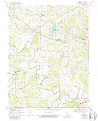
This is the sole edition of this map. No revisions or reprints were ever made.
Historical Maps of Plummer Through Time
Featured Locations
Source Details
SourceU.S. Geological Survey
CopyrightPublic Domain